
3D mobile mapping
CHCNAV
CHCNAV 3D mobile mapping solutions combine handheld SLAM scanning, vehicle-mounted and airborne LiDAR, and geospatial data processing software.

3D mobile mapping
CHCNAV 3D mobile mapping solutions combine handheld SLAM scanning, vehicle-mounted and airborne LiDAR, and geospatial data processing software.
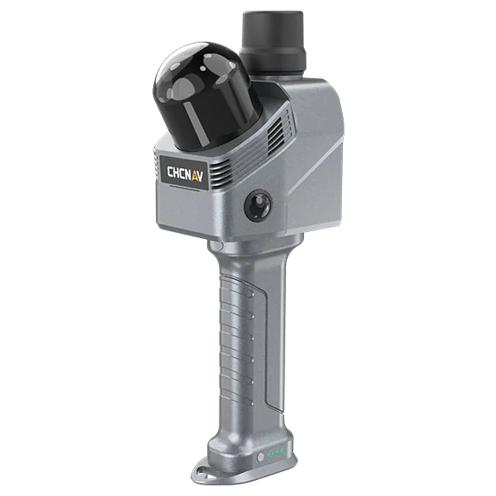 CHCNAV – RS7
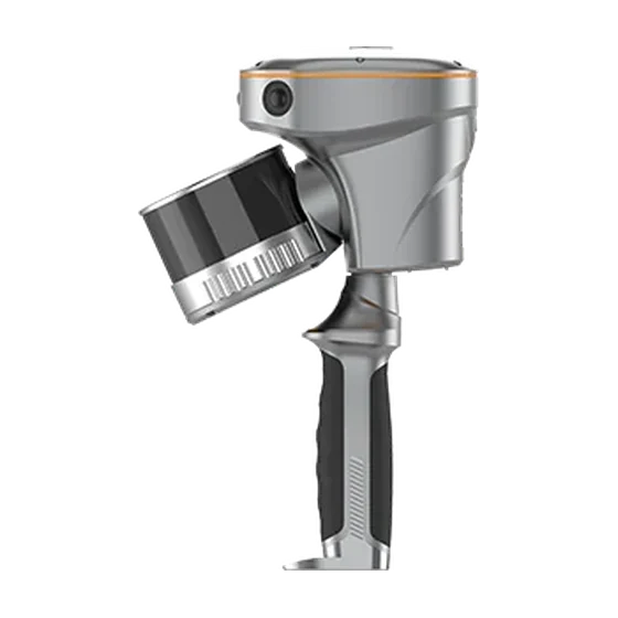 CHCNAV – RS10
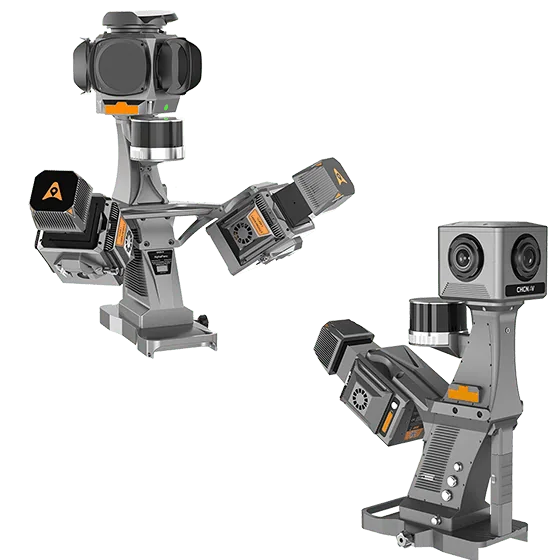 CHCNAV – AU20 MMS
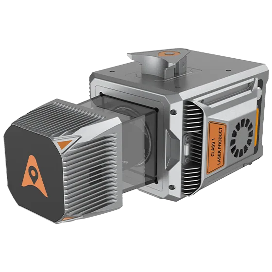 CHCNAV – AlphaUni 20
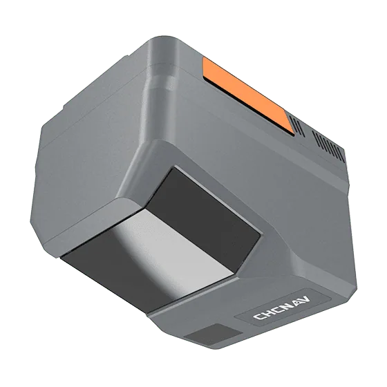 CHCNAV – AlphaAir 6
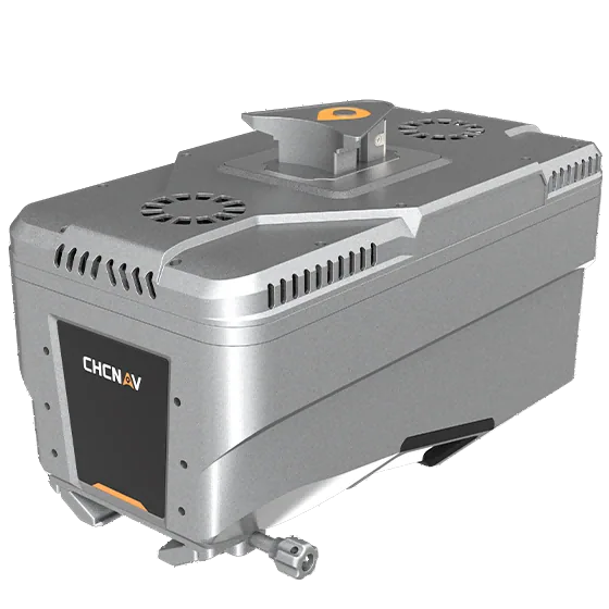 CHCNAV – AlphaAir 15
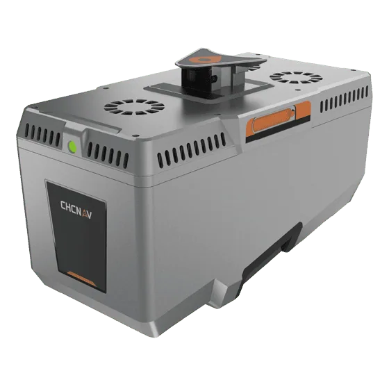 CHCNAV – AlphaAir 15 Pro
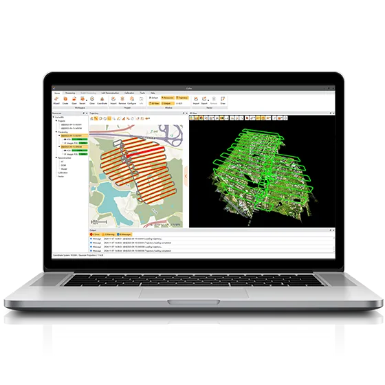 CHCNAV – CoPre
 CHCNAV – CoProcess
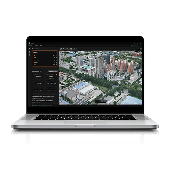 CHCNAV – CoMeta