
CHCNAV · Multi-Platform LiDAR System
CHCNAV AlphaUni 20
One LiDAR platform for vehicle and airborne surveys
AlphaUni 20 (AU20) captures georeferenced point clouds from vehicle and compatible airborne platforms. Its 360° scan, high pulse rate and multiple returns support terrain and corridor surveys.
Request product information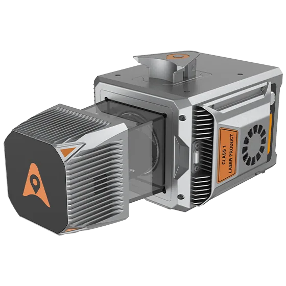
Key features
Multi-platform integration
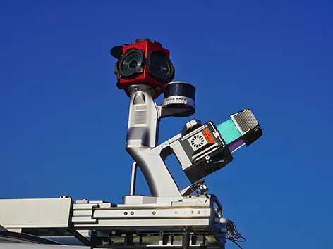
Select a mounting and camera package for vehicle or airborne mapping.
Multiple returns
Record returns from different surfaces in vegetated terrain.
Position and imagery
Support the survey with GNSS/IMU data and RGB imagery from the selected configuration.
Applications
Topography · Road and railway corridors · Forestry and infrastructure mapping
Technical specifications
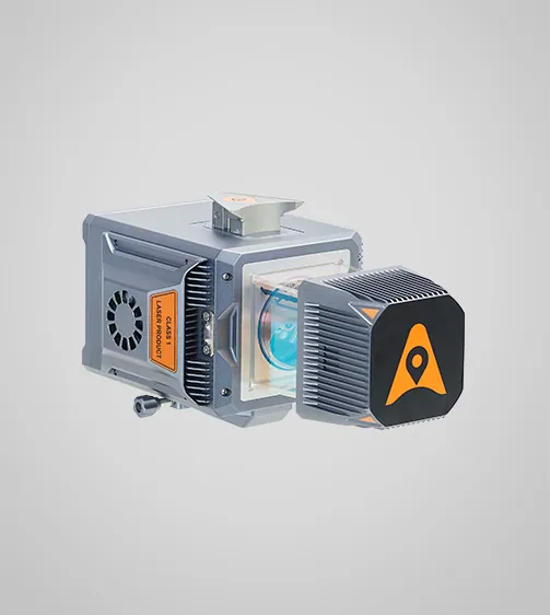
| LiDAR field of view | 360° |
|---|---|
| Maximum pulse repetition rate | 2 MHz |
| Maximum returns per pulse | 16 |
| Inertial measurement unit | 600 Hz |
| Image resolution | 45 MP |
| Internal storage | 512 GB |
| System weight, manufacturer specification | 2.82 kg |
| Protection rating | IP64 |
Manufacturer values depend on the configuration and stated test conditions.
Frequently asked questions
What can I use this product for?
Topography · Road and railway corridors · Forestry and infrastructure mapping
How do I select a configuration?
Record returns from different surfaces in vegetated terrain.
Find the right configuration for your project.
Contact us to discuss equipment, software and integration options.
Contact ATAY Explore all CHCNAV products