
CHCNAV · Long-Range Airborne LiDAR System
CHCNAV AlphaAir 15
Airborne surveying for large areas and corridors
AlphaAir 15 (AA15) combines long-range LiDAR and 45 MP imaging for terrain models, corridor maps and vegetation analysis.
Request product information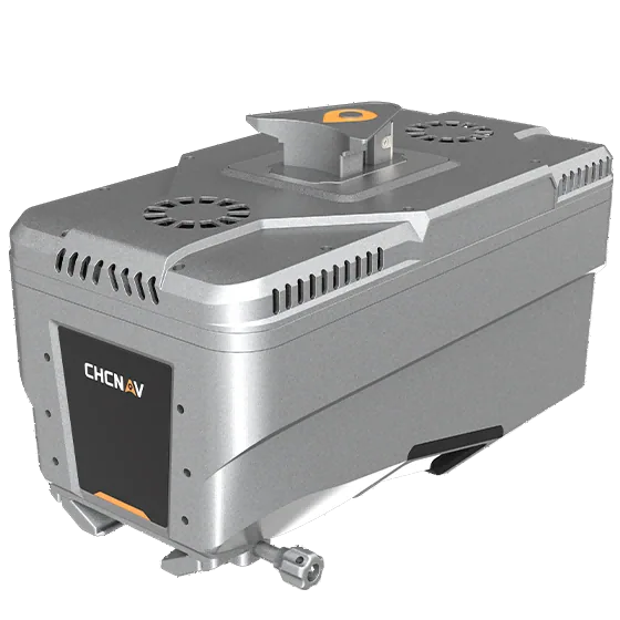
Key features
Large-area mapping
Survey large project areas with a 75° scan field of view.
Multiple returns in vegetation
Up to 16 returns per pulse help distinguish vegetation and ground layers.
Aircraft integration
Evaluate UAV, light aircraft and helicopter installation against payload and mounting requirements.
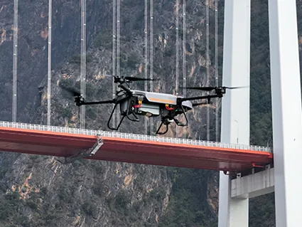
Applications
Corridor surveys · Urban planning · Forestry and digital terrain models
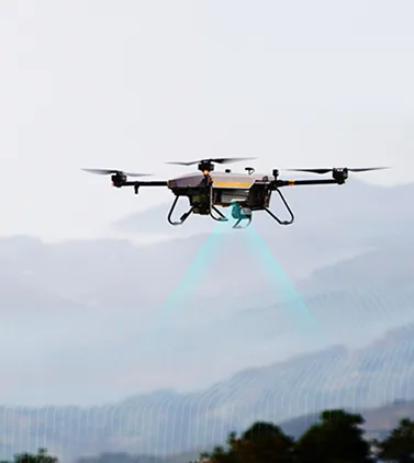
Technical specifications
| Manufacturer-specified maximum range | 1,800 m |
|---|---|
| Maximum pulse repetition rate | 2 MHz |
| RGB camera | 45 MP |
| LiDAR field of view | 75° |
| Maximum returns | 16 |
| Inertial measurement unit | 600 Hz |
| System weight, manufacturer specification | 2.5 kg |
| Internal storage | 512 GB |
Manufacturer values depend on the configuration and stated test conditions.
Frequently asked questions
What can I use this product for?
Corridor surveys · Urban planning · Forestry and digital terrain models
How do I select a configuration?
Up to 16 returns per pulse help distinguish vegetation and ground layers.
Find the right configuration for your project.
Contact us to discuss equipment, software and integration options.
Contact ATAY Explore all CHCNAV products