
CHCNAV · LiDAR Data Preprocessing Software
CHCNAV CoPre
Turn raw LiDAR and positioning data into usable survey outputs
CoPre processes GNSS, LiDAR and RGB data from CHCNAV LiDAR systems. Compute trajectories, georeference datasets and colorize point clouds in one workflow.
Request product information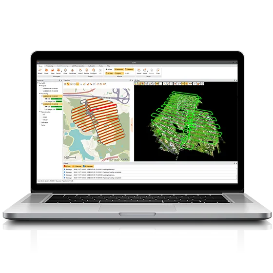
Key features
Trajectory calculation
Process positioning measurements with static, fast static, PPK and PPP workflows.
Quality control and calibration
Review survey consistency with strip adjustment and ground control points.
Data preparation
Colorize, filter and export point clouds for downstream analysis.

Applications
LiDAR preprocessing · Trajectory review · Georeferenced point clouds
Technical specifications
| Trajectory processing | GNSS |
|---|---|
| Data alignment and colorization | LiDAR + RGB |
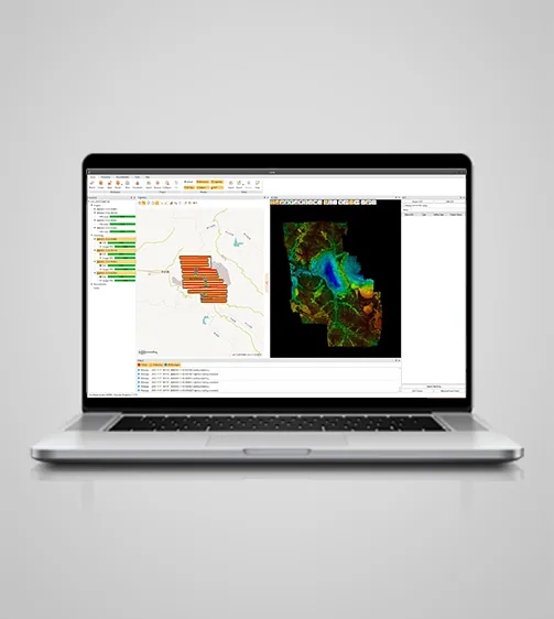
| Orthoimagery and model output | DOM |
| Operating system | Windows |
| GNSS processing options | Static · Fast Static · PPK · PPP |
| Ground control | GCP |
| Primary inputs | GNSS + LiDAR + RGB |
Manufacturer values depend on the configuration and stated test conditions.
Frequently asked questions
What can I use this product for?
LiDAR preprocessing · Trajectory review · Georeferenced point clouds
How do I select a configuration?
Review survey consistency with strip adjustment and ground control points.
Find the right configuration for your project.
Contact us to discuss equipment, software and integration options.
Contact ATAY Explore all CHCNAV products