
CHCNAV · Point Cloud Processing and Modeling Software
CHCNAV CoProcess
From point clouds to CAD, terrain models and volumes
CoProcess supports classification, cleanup, CAD drafting and terrain modeling from LiDAR point clouds.
Request product information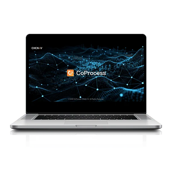
Scan-to-CAD2D and 3D CAD drafting
DEM / DSMTerrain and surface modeling
3DVolume calculations
Classification and editingData preparation
Key features
Classification
Classify points into terrain and other surfaces for downstream work.
Scan-to-CAD
Create plans, sections and drawings from point clouds.
Terrain and volumes
Prepare terrain models, contours and cut-and-fill deliverables.
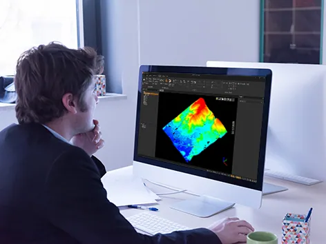
Applications
Surveying · Earthworks monitoring · Scan-to-CAD · Infrastructure projects
Technical specifications
| 2D and 3D CAD drafting | Scan-to-CAD |
|---|---|
| Terrain and surface modeling | DEM / DSM |
| Volume calculations | 3D |
| Data preparation | Classification and editing |
| Surface deliverables | DEM · DSM |
| Vector deliverables | Contours · CAD |
Manufacturer values depend on the configuration and stated test conditions.
Frequently asked questions
What can I use this product for?
Surveying · Earthworks monitoring · Scan-to-CAD · Infrastructure projects
How do I select a configuration?
Create plans, sections and drawings from point clouds.
Find the right configuration for your project.
Contact us to discuss equipment, software and integration options.
Contact ATAY Explore all CHCNAV products