
CHCNAV · Handheld SLAM LiDAR Scanner
CHCNAV RS7
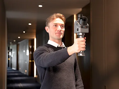
Capture interiors in 3D as you walk
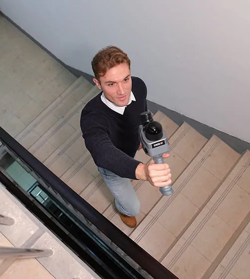
RS7 combines LiDAR, inertial sensing and SLAM to capture point clouds in building interiors, including feature-poor corridors and stairwells.
Request product information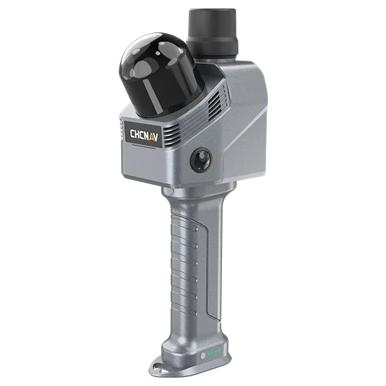
Key features
INS and SLAM
Inertial measurements help track motion through repetitive geometry.
Wide field of view
Capture walls, floor and ceiling in the same pass.
Field to office
Inspect the point cloud in SmartGo NEO and transfer it to a supported CoCloud workflow.
Applications
BIM and as-built documentation · Measured building surveys · Facility and corridor scanning
Technical specifications
| Points/s, dual return | 1.152 million |
|---|---|
| LiDAR field of view | 360° × 189° |
| Range at 10% reflectivity | 40 m |
| LiDAR channels | 64 |
| Maximum returns | 2 |
| Internal storage | 512 GB |
| Protection rating | IP64 |
| Relative accuracy in manufacturer testing | < 1 cm |
Manufacturer values depend on the configuration and stated test conditions.
Frequently asked questions
What can I use this product for?
BIM and as-built documentation · Measured building surveys · Facility and corridor scanning
How do I select a configuration?
Capture walls, floor and ceiling in the same pass.
Find the right configuration for your project.
Contact us to discuss equipment, software and integration options.
Contact ATAY Explore all CHCNAV products