
 ATAY MÜHENDİSLİK
NADIR AND OBLIQUE AERIAL IMAGING
UltraCam Osprey
4.2
See the city from every angle.
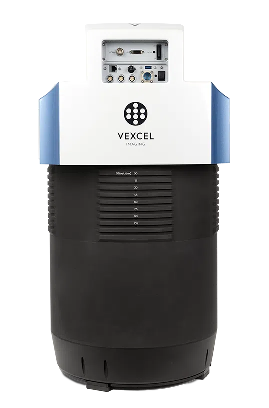
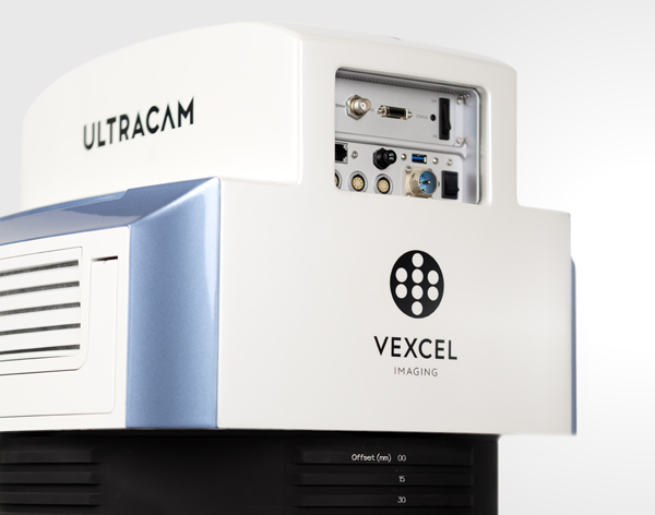
UltraCam Osprey 4.2 combines photogrammetric nadir imaging with oblique images in four directions. Its large-format design provides versatile data for orthophotos, 3D city models and infrastructure mapping.
Nadir PAN width
Wide nadir coverage in Standard and Tele options.
Oblique RGB imagery
19,136 × 12,736 pixels in each direction.
Shortest capture interval
Fast nadir and oblique image capture.
Standard / Tele
Lens-system selection according to mission altitude.
Nadir accuracy. Oblique detail.
PAN, RGB and NIR nadir images with four oblique RGB views provide roof and façade information together. Standard and Tele lens systems suit different flight-altitude requirements.
Nadir and oblique
Plan views and façade information in one system.
Sony IMX811
CMOS sensors with a physical pixel size of 2.81 µm.
Standard and Tele
Different altitude options for the target GSD.
AMC
Software correction for multidirectional image motion.
RGB and NIR
Multiband capture in nadir imagery.
UltraMap integration
Workflow for orthophotos, elevation models and textured 3D products.

Document cities from multiple perspectives.
Four-direction oblique cameras complement façades that are less visible in nadir imagery. This arrangement provides a rich image set for city modelling and interpretation of building surroundings.
- Photogrammetric nadir images
- High-resolution oblique RGB in four directions
- Textured 3D model production with UltraMap
Lens selection by altitude.
Standard and Tele systems meet different airspace and resolution requirements. Tele enables higher flight altitude at the same example GSD; select the lens system alongside the project plan.
- Standard: 80 mm nadir PAN lens
- Tele: 122 mm nadir PAN lens
- Four oblique RGB views in both systems
Explore the details.
System information and configuration details for UltraCam Osprey 4.2.
Standard and Tele comparison
| Nadir PAN dimensions | Standard: 25,024 × 19,008 px / Tele: 25,032 × 19,008 px |
|---|---|
| Nadir colour dimensions | Standard: 15,640 × 11,880 px / Tele: 10,430 × 7,920 px |
| PAN focal length | Standard: 80 mm / Tele: 122 mm |
| Nadir RGB / NIR focal length | 50 mm in both systems |
| Oblique RGB focal length | Standard: 124 mm / Tele: 182 mm |
| Pansharpening ratio | Standard: 1:1.6 / Tele: 1:2.4 |
| Example altitude for 5 cm GSD | Standard: 1,423 m AGL / Tele: 2,172 m AGL |
| Camera weight | Standard: 57 kg / Tele: 60 kg |
AGL means above ground level. Example GSD and altitude values refer to the manufacturer's nadir capture scenarios. Standard and Tele are separate lens-system configurations.
System and operation information
| Sensor architecture | Sony IMX811 CMOS |
|---|---|
| Sensor arrangement | 2 PAN, 1 RGB, 1 NIR nadir; 4 RGB oblique |
| Each oblique image size | 19,136 × 12,736 pixels |
| Physical pixel size | 2.81 µm |
| Shortest capture interval | 0.7 s |
| Dynamic range / conversion | >83 dB (base ISO) / 14-bit |
| Motion compensation | Adaptive Motion Compensation |
| Dimensions (H × W × diameter) | 80 × 43 × 39.5 cm |
| Camera power consumption | 330 W average / 350 W peak |
| Storage | 16 or 32 TB; 4 NVMe SSDs |
| Maximum flight altitude | 7,000 m above sea level |
| Operating temperature | -20 °C to +45 °C¹ |
¹ Minimum operating temperature for the internal computer unit is 0 °C. Camera weights exclude UltraNav and the mount. Options and available storage may vary by configuration.
Manage your project step by step.
Plan
Define the lens system, target GSD and nadir/oblique overlap.
Capture
Record roofs and façades together in nadir and oblique views.
Model
Turn images into orthophotos and textured 3D products through the UltraMap workflow.
Solutions that work together.
UltraCam Osprey 4.2 Brochure
View the manufacturer's English PDF brochure.
Choose the right system for your project.
Let us select the appropriate Osprey 4.2 system for your urban and infrastructure project.