
 ATAY MÜHENDİSLİK
LARGE-AREA AERIAL MAPPING
UltraCam Condor
4.1
Large areas. Efficient flights.
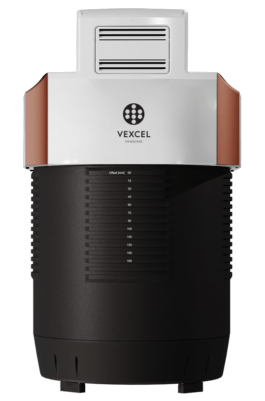
UltraCam Condor 4.1 is a large-format aerial camera designed for high-altitude, wide-area imaging. It combines a broad RGB image strip with PAN and NIR channels to support orthophoto and elevation-model production.
RGB swath width
Wide image coverage across the flight line.
Shortest capture interval
Fast data capture with CMOS architecture.
Multiband imagery
Colour and near-infrared data complementing the PAN channel.
Motion compensation
Software correction of multidirectional image motion.
Wide coverage for large projects.
Condor 4.1's long RGB strip improves flight efficiency on wide-area missions. The rectangular PAN channel supplies data for dense matching; images captured in the same flight can serve different mapping outputs.
Wide RGB strip
Colour image size of 48,462 × 6,150 pixels.
Rectangular PAN
PAN image coverage of 20,488 × 14,040 pixels.
NIR channel
Multiband assessment with near-infrared information.
CMOS architecture
Minimum image interval of 0.7 seconds.
Custom optics
Lenses designed for image sharpness and contrast.
UltraMap workflow
Integration into orthophoto, point-cloud and elevation-model production.
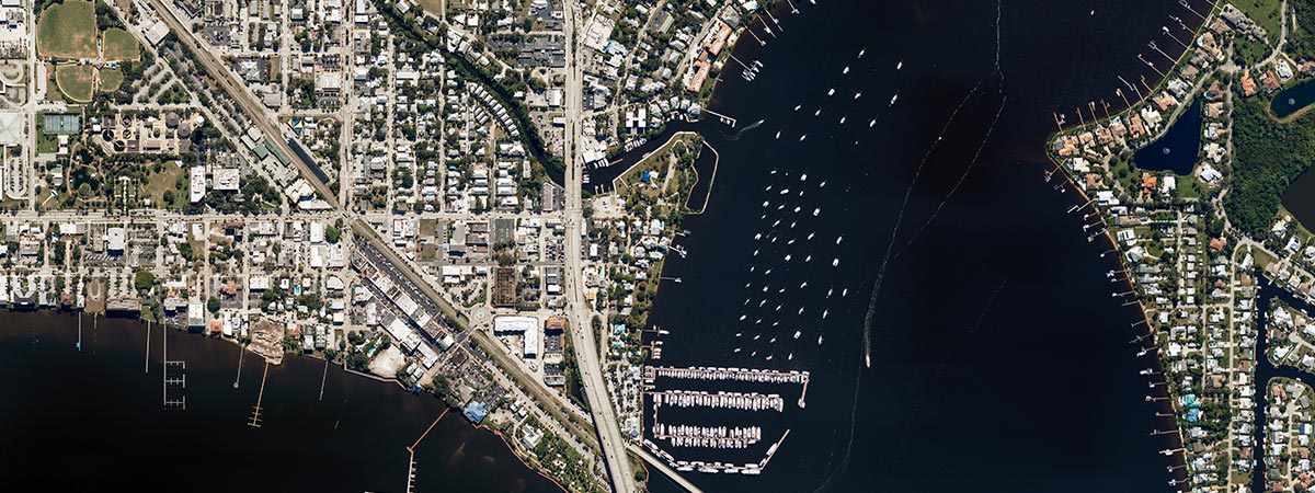
One flight, multiple data products.
The colour image strip is processed alongside PAN and NIR information. PAN geometry supports dense matching, followed by DSM, DTM and orthophoto production according to project requirements.
- Wide-area orthophoto production
- Terrain and surface model generation
- Multiband image assessment
Architecture for wide-area missions.
CMOS sensors, custom optics and fourth-generation electronics manage large data volumes. The camera body, connections and handles are arranged to simplify setup and field use.
- Data unit exchangeable during flight
- UltraNav and UltraMount integration
- Standard output formats through UltraMap
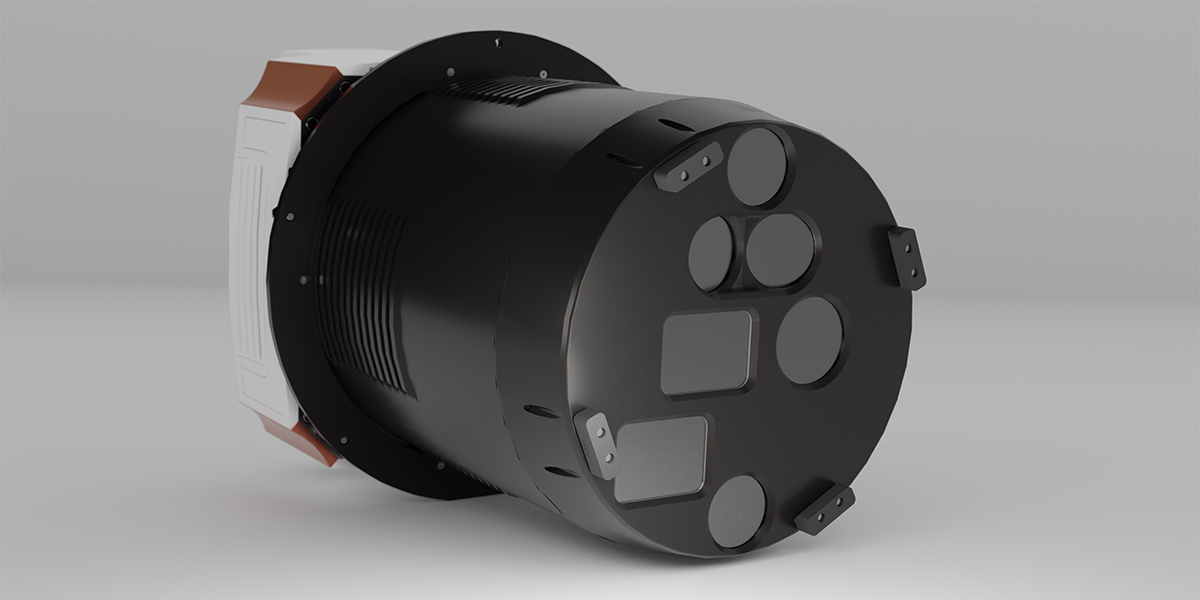
Explore the details.
System information and configuration details for UltraCam Condor 4.1.
Channel and optical configuration
| RGB image dimensions | 48,462 × 6,150 pixels |
|---|---|
| PAN image dimensions¹ | 20,488 × 14,040 pixels |
| NIR image dimensions¹ | 9,456 × 6,240 pixels |
| RGB / PAN / NIR focal length | 123 mm / 52 mm / 24 mm |
| Physical pixel size | 3.76 µm |
| RGB field of view | 73.1° cross-track / 10.7° along-track |
| PAN field of view | 73.1° cross-track / 53.8° along-track |
| NIR field of view | 73.1° cross-track / 52.1° along-track |
¹ Image dimensions corresponding to RGB coverage. PAN and NIR channels have different sampling scales from the RGB strip.
System and operation information
| Sensor type | CMOS |
|---|---|
| Shortest capture interval | 0.7 s |
| Motion compensation | Adaptive Motion Compensation |
| Dynamic range | >83 dB at base ISO |
| Analogue / digital conversion | 14 bit |
| Camera weight | <55 kg |
| Cylinder diameter | 395 mm |
| Camera power consumption | 330 W average / 350 W peak |
| Storage | 16 or 32 TB; 4 NVMe SSDs |
| Maximum flight altitude | 7,000 m above sea level |
| Operating temperature | 0 °C to +45 °C¹ |
| Processing software | UltraMap |
¹ -20 °C to +45 °C for the camera cylinder exposed to outside airflow. Camera weight excludes the mount and other peripherals. Available storage capacity may vary by configuration.
Manage your project step by step.
Plan
Select altitude and overlap according to area size and target GSD.
Capture
Capture the wide RGB strip alongside PAN and NIR imagery.
Produce
Move from images to orthophotos and elevation models with UltraMap.
Solutions that work together.
UltraCam Condor 4.1 Brochure
View the manufacturer's English PDF brochure.
Choose the right system for your project.
Let us assess your wide-area mapping project with Condor 4.1.