
Agricultural Solutions
Professional solutions for agricultural monitoring, data collection and analysis.
OUR ROLE IN AGRICULTURE
- Plant health
- Plant counting
- Crop productivity and yield estimation
- Plant species and variety identification
- Damage assessment
- Crop growth-stage assessment
- Vegetation cover
- Change detection over time
- Agricultural Drone Models
Data Collection
For Areas Smaller Than 500 Hectares
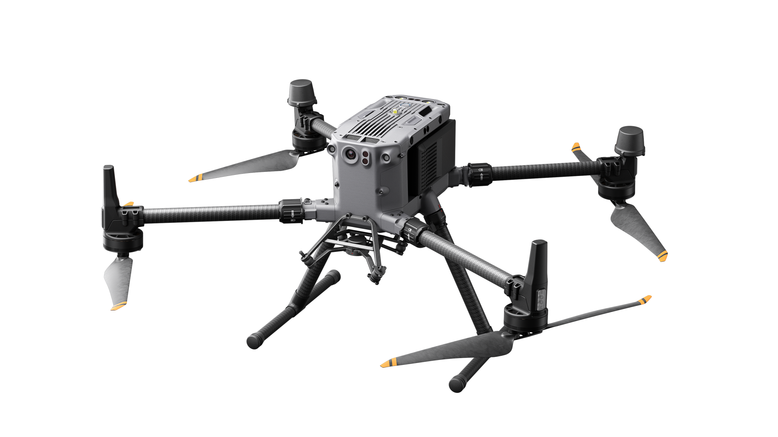
DJI Matrice 350 RTK
The RTK/PPK system integrated with the DJI Matrice 350 RTK supports precise positioning and efficient preparation for surveying operations. Real-time kinematic satellite navigation enables centimetre-level positioning for 3D mapping workflows.
For Areas Larger Than 500 Hectares
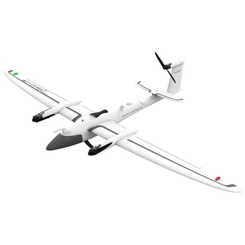
Quantum Systems Trinity F90+
The Quantum Systems Trinity F90+ is a professional unmanned aircraft designed for large-area mapping. It combines vertical take-off and landing, flight times of up to 90 minutes, a range of sensor options and PPK positioning for centimetre-level mapping outputs.
Sensor Selection

MicaSense RedEdge-P
At 120 m Altitude:
Panchromatic band: 3.98/pixel
Multispectral band: 7.7 cm/pixel
Data Processing

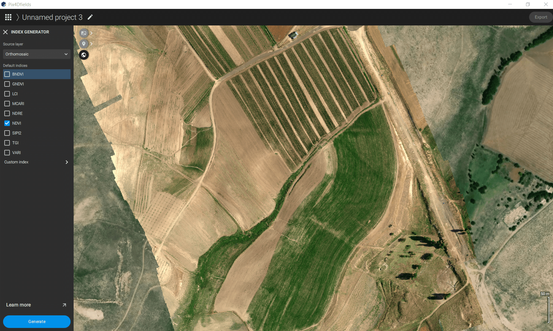
PIX4Dfields
- Map Production
- Index Map Generation
- Fertiliser and Crop-Protection Application Planning
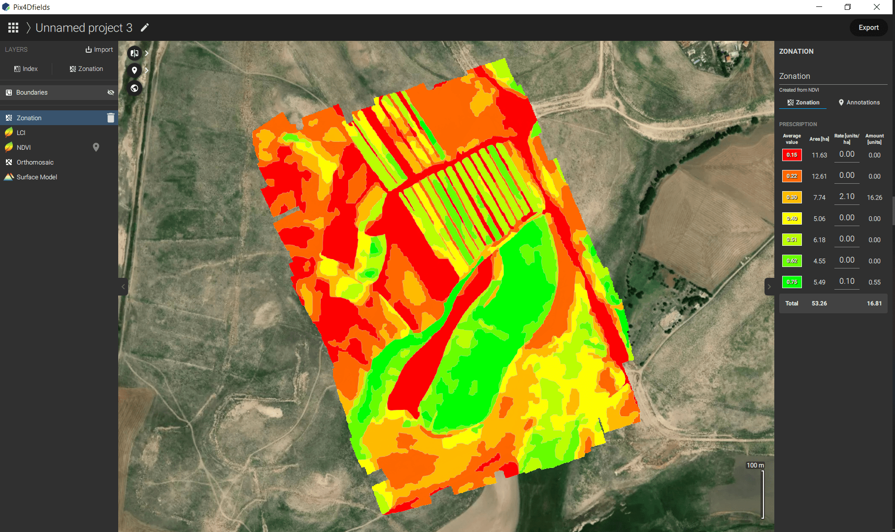
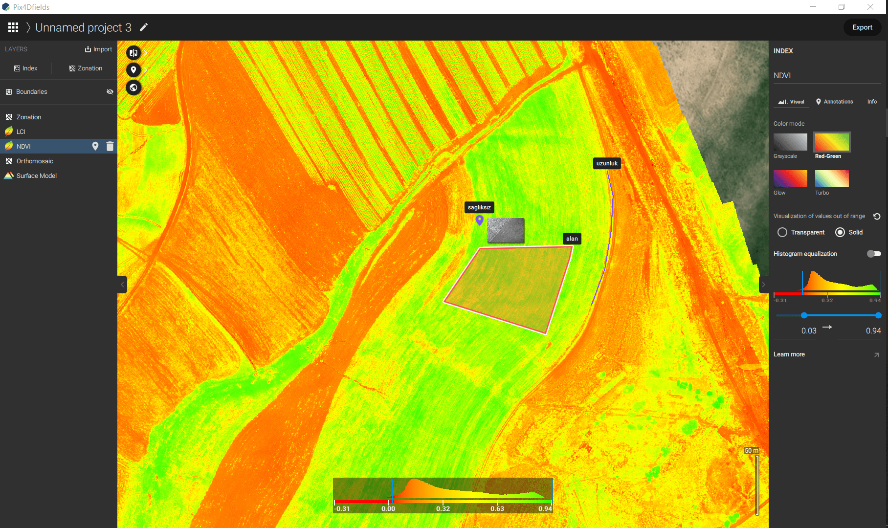
PIX4Dfields is software developed for agricultural analysis. It processes RGB and multispectral imagery offline to create orthomosaics, digital surface models, index maps and detailed reports.
These outputs support crop-growth monitoring, analysis and plant-health data management.
Sample Data


Catalyst Professional
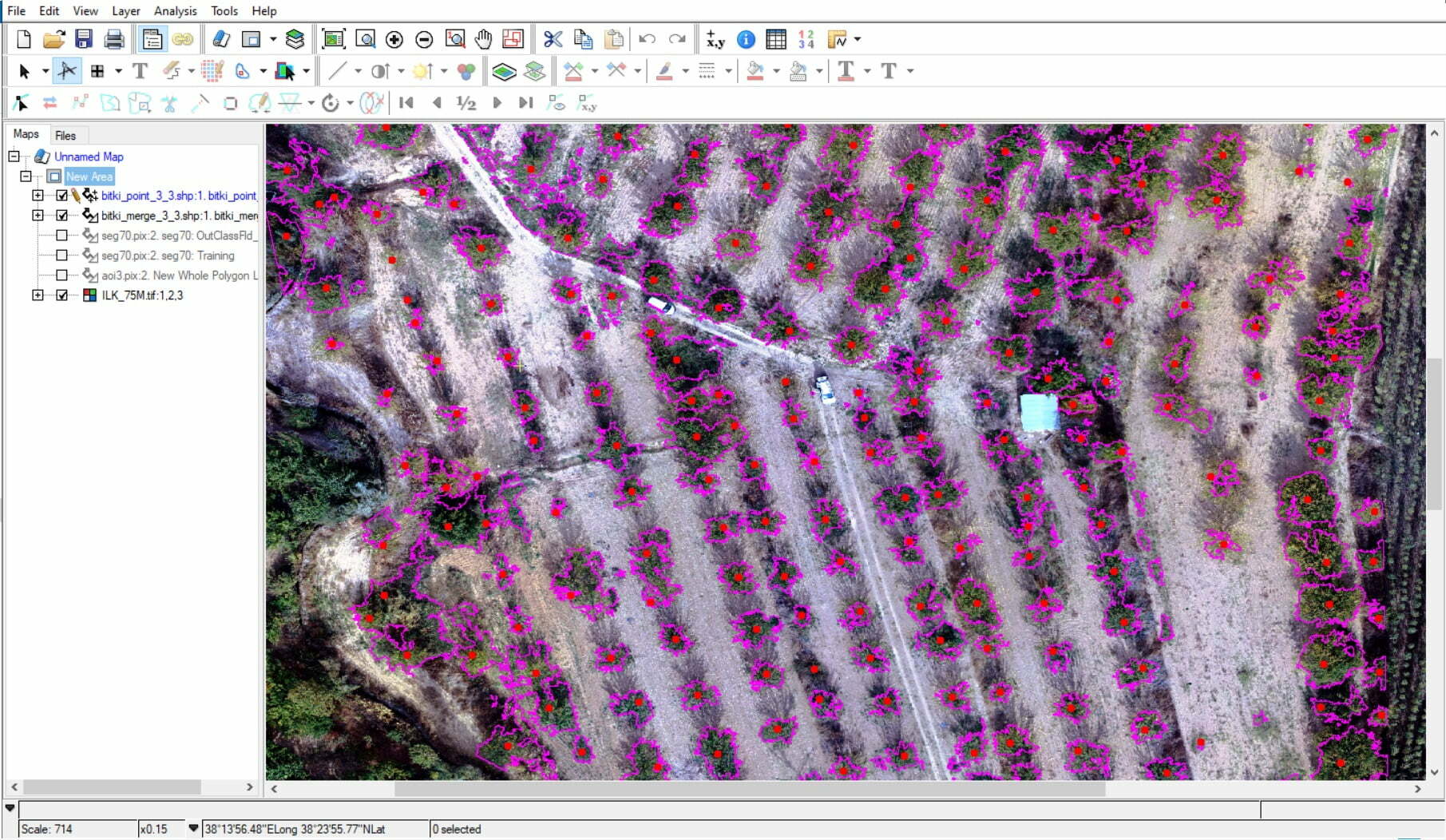
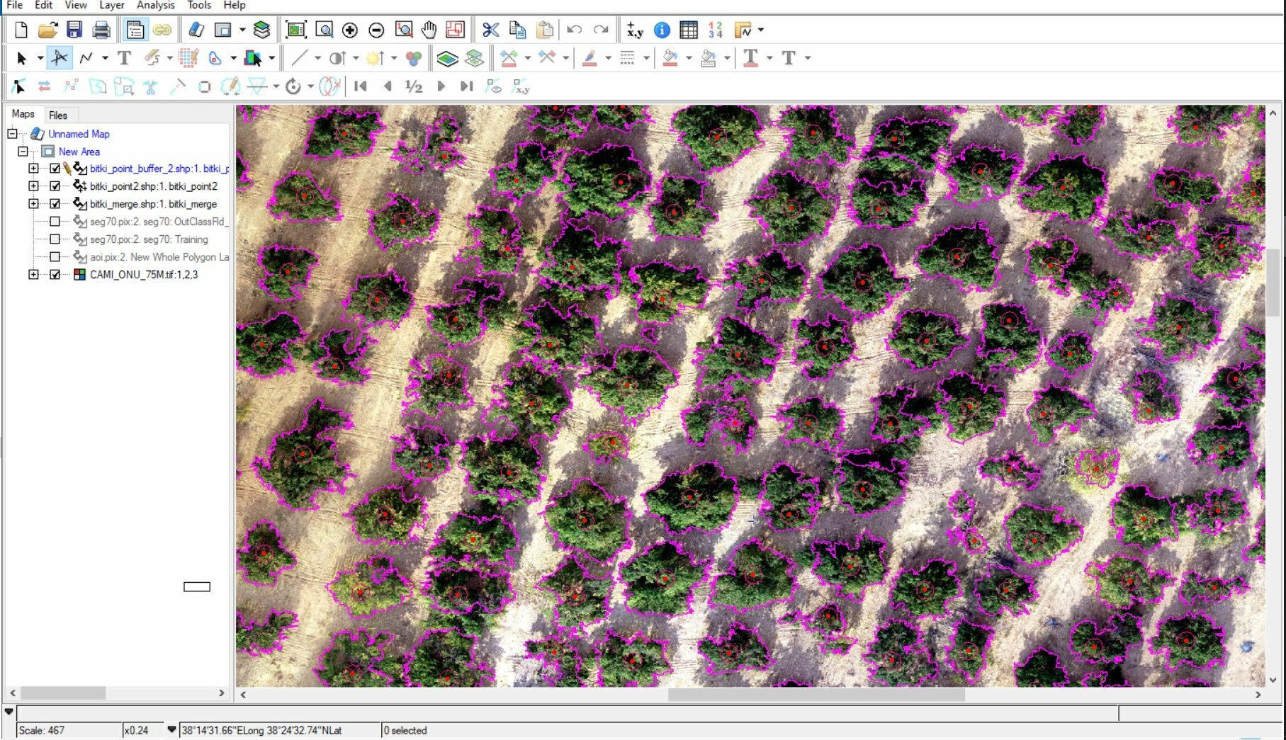
- Plant Species Identification
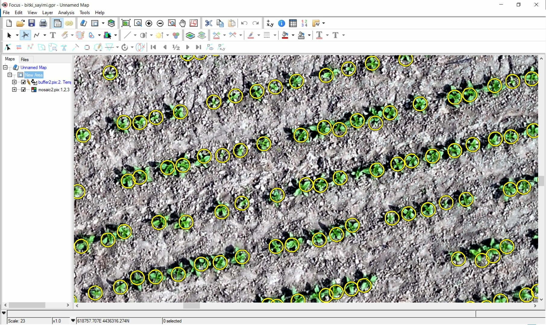
- Plant Counting
- Change Detection Over Time
Catalyst Professional draws on three decades of image-processing experience to analyse satellite, aerial, UAV and radar data.
- Object-based classification supports plant counting.
- Change-detection tools support post-disaster damage assessment.
- A library of more than 750 algorithms supports a wide range of projects and large datasets.
Sample Data
Spraying, Fertilising and Seeding
After collecting and analysing your data, agricultural drone platforms can support spraying, fertilising and seeding operations in the field.
DJI Agras drone platforms support agricultural workflows that include spraying and spreading, helping teams carry out field operations efficiently.