
PIX4Dfields
Crop analysis and precision-agriculture mapping softwareRGB and multispectral imagery · Offline processingPIX4Dfields focuses on agricultural analysis and mapping from UAV imagery. Process RGB and multispectral data in the field or office to create orthomosaics, vegetation indices, zone maps and prescription maps.
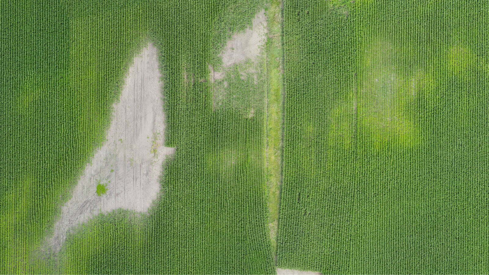
Turn imagery into agricultural decisions.
Results in the field
Process images on a laptop without an internet connection.
Crop and zone analysis
Examine data with predefined or custom index formulas, area-based assessment and statistical tools.
Seasonal comparison
Compare data from different flights; share results as PDFs or through compatible agricultural software workflows.

From maps to site-specific application
Index and zone maps enable comparison of different parts of the field. Prescription maps and standard data transfer complete the farm-management workflow.
Applications and outputs
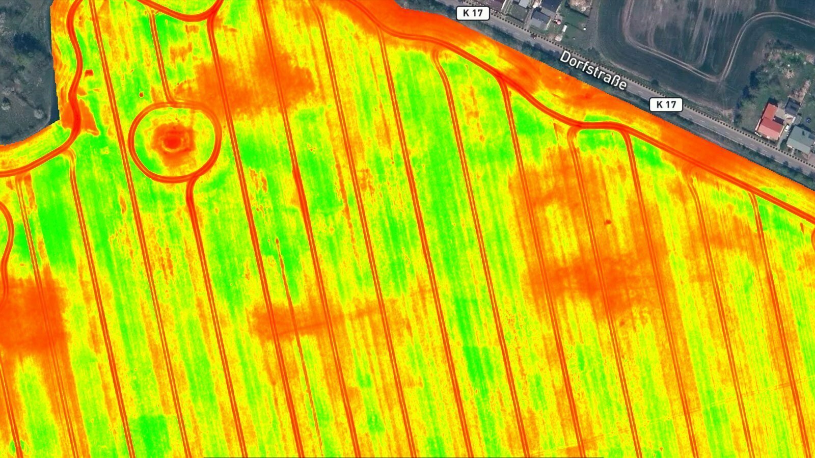
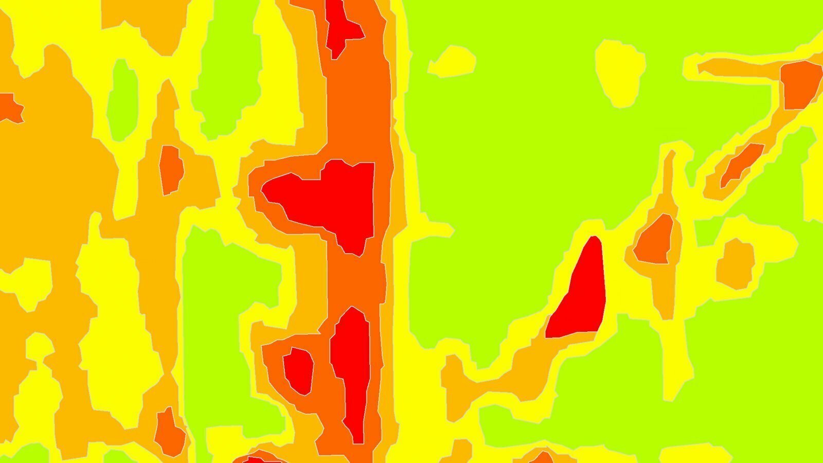
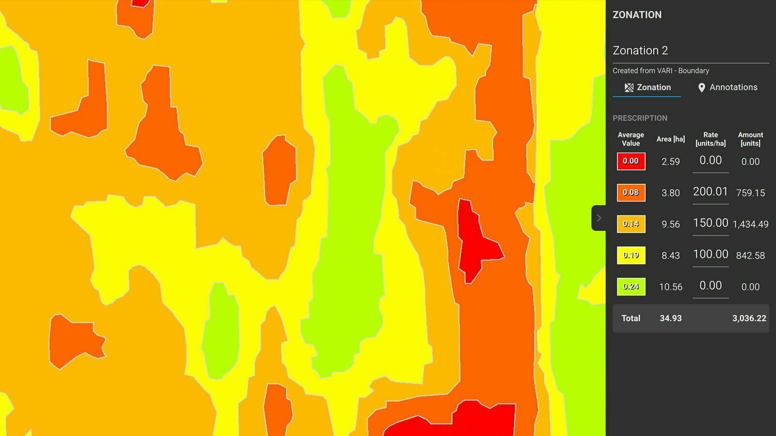
Images: application and output examples from the Atay Mühendislik product page.
Features and workflow
Tap a heading to view the details.
Input and processing
| Specification | PIX4Dfields |
|---|---|
| Image types | RGB and multispectral |
| Example sensors | Parrot Sequoia+ / MicaSense RedEdge |
| Operating environment | Laptop; field or office |
| Internet for processing | Not required |
| Processing approach | Orthomosaic workflow focused on agricultural land |
Analysis tools
| Specification | PIX4Dfields |
|---|---|
| Indices | Predefined and custom index formulas |
| Area-based work | Zone assessment and reporting |
| Comparison | Data from different flights and dates |
| Measurements and annotations | Add measurements and annotations to key areas |
| Statistics | Mean and standard-deviation calculations |
Output and sharing
| Specification | PIX4Dfields |
|---|---|
| Maps | Orthomosaic / field boundary / vegetation index |
| Other outputs | Digital surface model / zone / prescription maps |
| Report | |
| Sharing | Sharing option through PIX4Dcloud |
| Integration | Transfer data in standard formats to farm-management software |
Processing time and output quality vary with the dataset, capture conditions and computer used.
Let us define the right solution for your project.
Contact Atay Mühendislik for software selection, licence scope, training and technical support.