
ATAY MÜHENDİSLİK · PRODUCT INFORMATION
TERSUS The Duck Unmanned Surface Vehicle
The Duck combines a compact trimaran body, RTK positioning and an ES200 single-beam echo-sounder workflow for remote hydrographic measurement. Plan the route, monitor measurements live and transfer underwater survey data into the project workflow.
Request a Quotation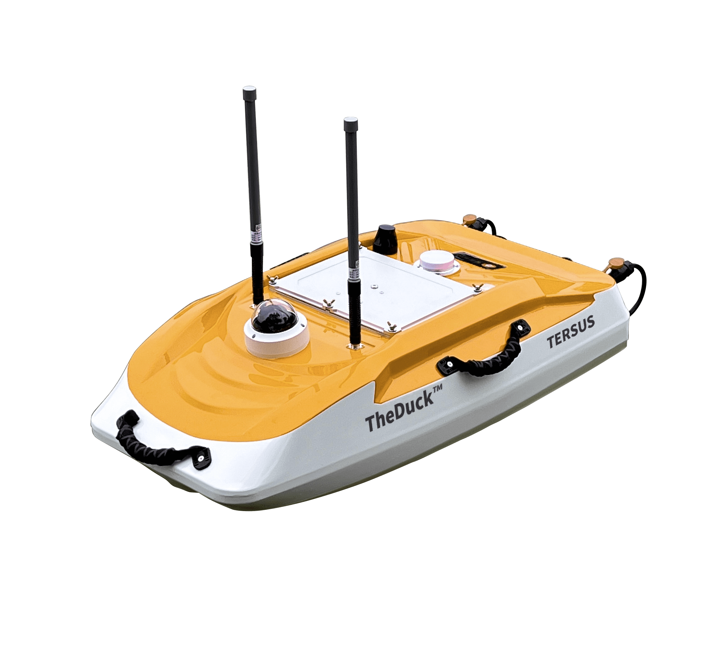
Key Features
- Twin removable electric jet thrusters provide differential steering and reverse movement.
- A seven-inch controller displays system status, GNSS, depth and 1080p video.
- Tersus Captain, MarineBenchVue and T-Converter support route management, sonar review and coordinate conversion.
Technical Specifications
| Hull dimensions | 1,000 × 530 × 340 mm |
|---|---|
| Empty vehicle weight | 7 kg |
| Hull material / protection | High-strength PP alloy / IP67 |
| Maximum speed | 7 m/s |
| Stated control range | Up to 2 km via 2.4 GHz RF |
| GNSS constellations | GPS, BDS, GLONASS, Galileo and QZSS |
| RTK horizontal / vertical accuracy | ±(8 mm + 1 ppm) / ±(15 mm + 1 ppm) RMS |
| ES200 standard depth range | 0.15–100 m; 300 m optional |
| ES200 standard frequency | 455 kHz; 200 kHz optional |
| ES200 recording | 16 GB; TSL2, CSV and TXT |
| Camera | 120° field of view; 1080p H.264 video |
Battery arrangement, total equipped weight and endurance are confirmed for the supplied configuration. The Turkish source's '6 hours × 2' battery entry is not a guarantee of twelve hours of uninterrupted operation. Optional echo-sounder specifications depend on the selected sensor.
Applications
Remote depth measurement, route-based hydrographic surveys and underwater terrain documentation.