

MVP 400
Precision at every point.
Reality in every detail.
Tersus MVP 400 combines a LiDAR scanner, GNSS/INS navigation system, 26 MP camera and storage in a compact body. It supports georeferenced 3D data production for terrain, forestry and infrastructure projects.
- Flight heightMaximum; under suitable mission conditions
- 400 m
- System weightIncluding camera
- 1.4 kg
- Multiple-return supportFor ground beneath vegetation
- 7 returns
- Vertical / horizontal accuracyAt the 150 m AGL reference
- 3 / 5 cm
Flight height and accuracy are different measures. System accuracy of 3 / 5 cm is specified at 150 m above ground; it does not imply the same accuracy at 400 m.
APPLICATIONS AND PERFORMANCE
From data to terrain models.
Precise 3D data.
A clearer view of the site.
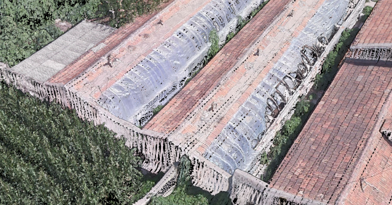
LiDAR scans and GNSS/INS data are evaluated together to geolocate measured points. MVP 400 is designed to create detailed point clouds of terrain surfaces and structures.
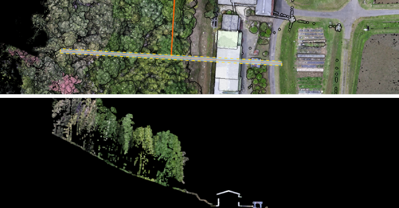
See beyond
examine what lies beneath.
Recording up to seven returns helps capture laser returns reaching the ground through gaps in vegetation. It supports separation of ground and vegetation data in forestry work.
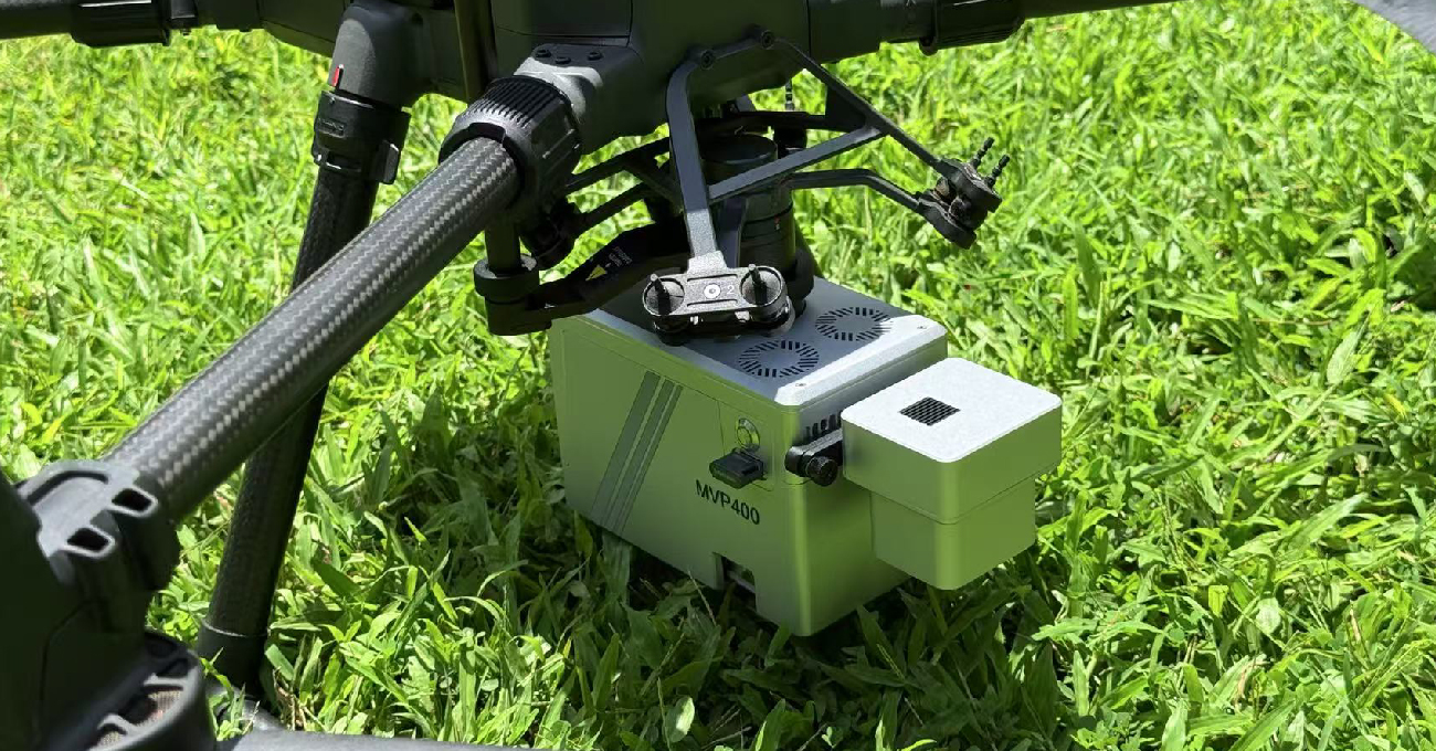
A complete system
in one body.
Camera, LiDAR, storage and DJI SkyPort connectivity are part of the same system. Factory calibration and mounting on compatible Matrice platforms simplify field preparation.
FIELD WORKFLOW
Plan. Capture. Process.
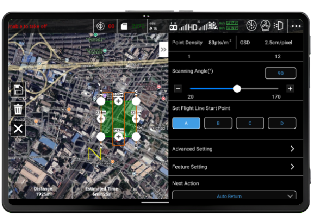
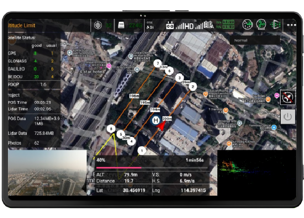
Plan
Prepare a mission plan for your area with MVP Pilot.
Capture
Record field data with a compatible DJI platform and MVP Pilot.
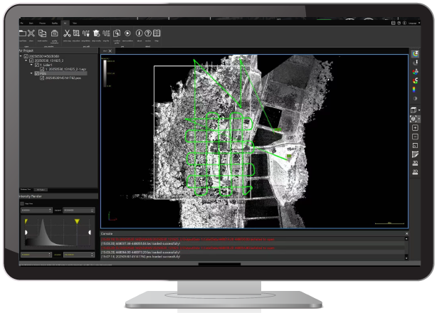
Process
Bring captured data into the point-cloud production workflow with MVP Studio.
APPLICATIONS
Detailed 3D data for different projects.
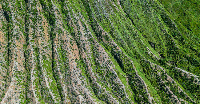
Topographic mapping
Terrain surfaces, digital models and existing-condition surveys.
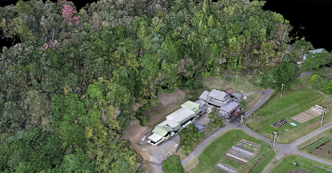
Forestry
3D data for ground models, tree structure and vegetation analysis.
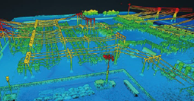
Power lines
Line corridors, surrounding vegetation and infrastructure inspection.
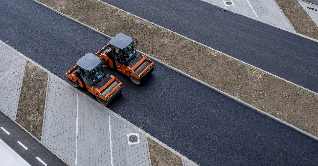
Roads and infrastructure
Transport corridor surveying, planning and asset management.
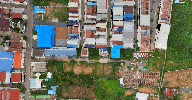
Buildings and BIM
Three-dimensional documentation of existing structures and urban environments.
TECHNICAL SPECIFICATIONS
Explore the details.
System and integration
| Product | Tersus MetaVerse Painter 400 / MVP 400 |
|---|---|
| System components | LiDAR scanner, GNSS/INS, RGB camera, data storage |
| System weight | Approximately 1.4 kg; including camera |
| Camera | 26 MP APS-C |
| Connection | DJI SkyPort |
| Compatible platforms | DJI Matrice 300 RTK / Matrice 350 RTK |
LiDAR and scanning
| Flight height | Up to 400 m |
|---|---|
| Field of view | 90° |
| Scan rate | 300 lines/s |
| Laser pulse frequency | 100–1000 kHz |
| Multiple returns | Up to 7 returns |
| Distance measurement error | 5 mm; manufacturer's stated reference value |
Accuracy and software
| Vertical system accuracy | 3 cm @ 150 m AGL |
|---|---|
| Horizontal system accuracy | 5 cm @ 150 m AGL |
| Mission planning | MVP Pilot |
| Data capture | Compatible DJI platform + MVP Pilot |
| Data processing | MVP Studio |
Measurement conditions and operating notes
| Height and accuracy | The 400 m flight-height capability and system accuracy specified at 150 m refer to different conditions. Results are affected by mission planning, terrain and data processing. |
|---|---|
| Model scope | Camera and system information on this page applies to MVP 400. MVP 400 Pro is a different configuration. |
Choose the solution for your project.
Share your site and target outputs; select a suitable LiDAR system and workflow with Atay Mühendislik.