
TS30
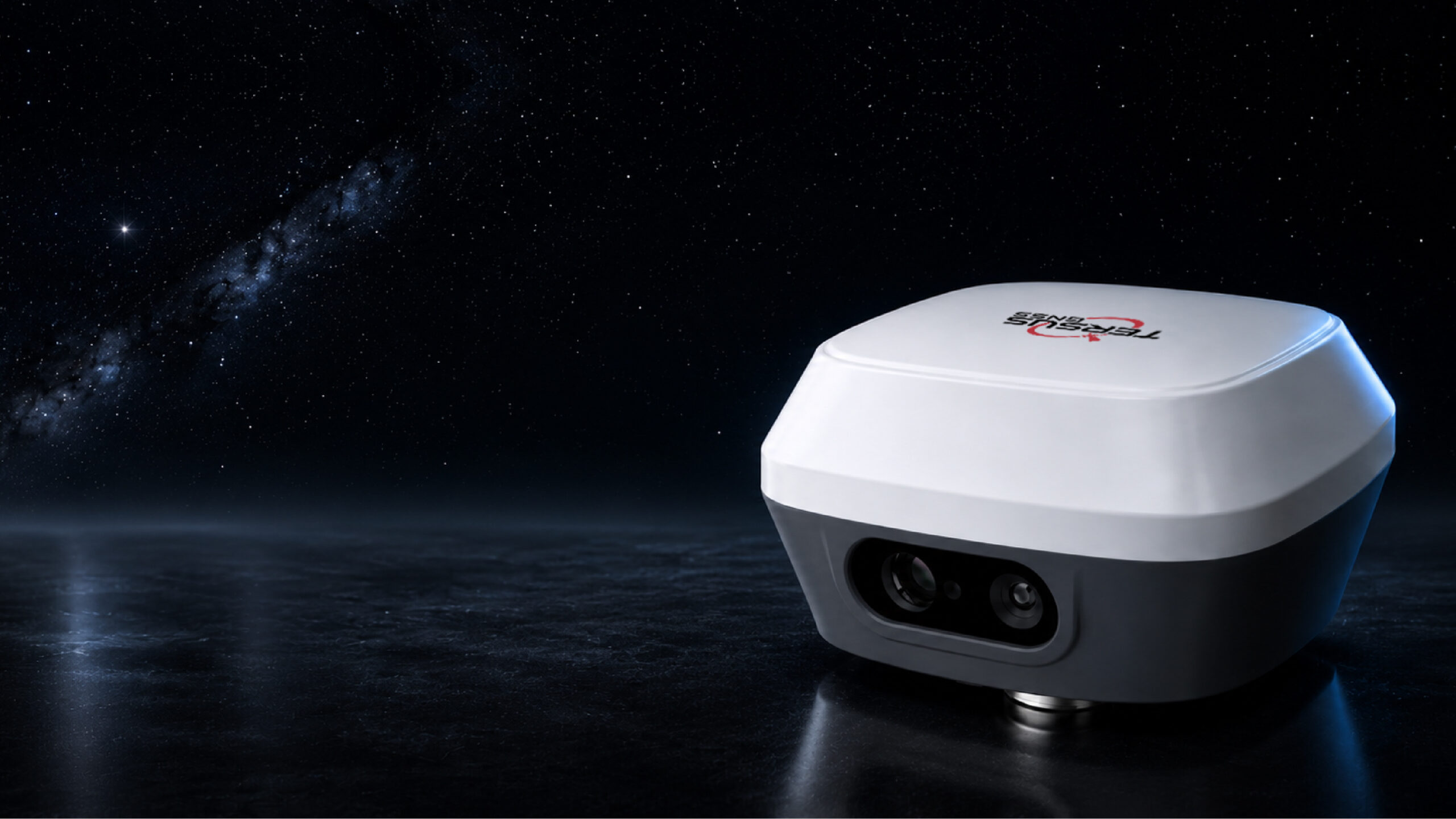
GNSS Receiver with Laser and Visual Surveying
Capture the site.
Measure the point with a laser.
GNSS, IMU, dual cameras and laser in one receiver. Use captuRTK TS30 for visual point measurements, point-cloud generation and AR stakeout.

BX50 GNSS technology
Multi-constellation and multi-frequency support.
Laser distance measurement
0.05–50 m measurement range.[1]
Visual point measurement
Typical 2D accuracy at a target distance of 2–15 m.[1]
AR stakeout
Live-view guidance using front and bottom cameras.
Internal battery
10,000 mAh battery and 15 W fast charging.[2]
Rugged design
Protection against water and dust in the field.
One receiver.
More field data.
The front camera supports visual positioning, the laser measures distances to hard-to-reach targets, and the IMU enables tilted-pole surveying. Choose the measurement method that suits field conditions.
Visual positioning
Generate point clouds from camera images and identify survey points in the images or point cloud.
Laser surveying
Measure distances without touching the target. The stated accuracy for laser target positioning is 3 cm RMS at 10 m.[1]
Record the site.
Measure the details.
Video recordings can be converted into point clouds using visual SLAM and positioning data. Use field data for measurements and project deliverables in the office.
Record the scene
Capture surfaces and targets from different viewpoints with the front camera.
Position the data
Combine GNSS, IMU and visual features to reference the scene to project coordinates.
Produce measurements
Measure coordinates, distances and angles in the point cloud, then export data to suitable office software.
Measure without
reaching the target.
The front camera tracks visual features during measurement. Stabilisation algorithms and the evaluation of multiple laser samples help reduce the effects of hand movement.
0.05–50 m measurement range
Laser-assisted surveying from nearby details to more distant targets.
8 mm distance accuracy
Accuracy of the laser distance sensor. This is distinct from target-coordinate measurement accuracy.
3 cm @ 10 m
Stated RMS accuracy for laser target positioning; subject to target and field conditions.[1]
See the target in the image.
Locate it in the field.
Front and bottom cameras provide live-view guidance at different target distances. Follow the target and direction of travel on screen during CAD-based AR stakeout.
2.3 MP front camera
Provides images for visual positioning and guidance to distant targets.
2.0 MP bottom camera
Helps you monitor the ground and stakeout point in live view as you approach the target.
Positioning beyond
network coverage.
Tersus TAP receives satellite-delivered corrections for PPP positioning without a local RTK base station or CORS connection. Select the service and activation options for your project.
Bring your data into the project.
Manage field data with NUWA and continue office workflows in Tersus Geo Office 2. Use GNSS and visual survey data to create the outputs your project requires.
32 GB internal storage
Record field data on the device and transfer it over wired or wireless connections.
4G and UHF connectivity
Use NTRIP, TCS and TCP for network corrections and the internal radio for field communications.
Everyday field use
Work with a 10,000 mAh battery, an approximate weight of 1,050 g and a Ø134 × 90 mm housing.[2]
Technical specifications.
Explore captuRTK TS30 positioning, connectivity and hardware specifications.
GNSS and signal tracking
| Channel count | 1792 |
|---|---|
| GNSS board | Tersus BX50 |
| GPS | L1 C/A, L2C, L2P, L5 |
| GLONASS | L1 C/A, L2 C/A |
| BeiDou | B1, B2, B3; BDS-3 support |
| Galileo | E1, E5a, E5b |
| QZSS | L1 C/A, L2C, L5 |
| SBAS | WAAS, EGNOS, GAGAN, SDCM, MSAS |
| L-band | Supported |
| Data update rate | 20 Hz |
Positioning performance
| RTK accuracy (RMS) | Horizontal: 8 mm + 1 ppm Vertical: 15 mm + 1 ppm |
|---|---|
| Network RTK accuracy (RMS) | Horizontal: 8 mm + 0.5 ppm Vertical: 15 mm + 0.5 ppm |
| High-precision static (RMS) | Horizontal: 2.5 mm + 0.1 ppm Vertical: 3.5 mm + 0.4 ppm |
| Static / fast static (RMS) | Horizontal: 2.5 mm + 0.5 ppm Vertical: 5 mm + 0.5 ppm |
| PPK accuracy (RMS) | Horizontal: 2.5 mm + 1 ppm Vertical: 5 mm + 1 ppm |
| DGPS accuracy (RMS) | Horizontal: 0.25 m Vertical: 0.5 m |
| Single-point accuracy (RMS) | Horizontal: 1.5 m Vertical: 2.5 m |
| Initialisation time | Typically 4 seconds.[1] |
| Time to first fix (TTFF) | Cold start: <30 seconds Warm start: <5 seconds |
| Signal reacquisition | <1 second |
| Time / velocity accuracy (RMS) | 20 ns / 0.03 m/s |
| Initialisation reliability | >99.9% |
| Tilt compensation | ≤2 cm within 60°; calibration-free IMU.[1] |
Cameras and visual surveying
| Front camera | 2.3 MP |
|---|---|
| Bottom camera | 2.0 MP |
| Image sampling accuracy | Typically 2 cm |
| Point measurement from images | Typically 2–4 cm (2D), at a target distance of 2–15 m.[1] |
| Visual positioning | Point-cloud-based visual positioning |
| AR stakeout | TwinCam front and bottom camera support |
Laser
| Range | 0.05–50 m |
|---|---|
| Laser class | 3R |
| Distance sensor accuracy | 8 mm |
| Laser target measurement (RMS) | 3 cm at 10 m.[1] |
| Measurement frequency | 5 Hz |
| Measurement support | VSLAM and stabilisation algorithms |
TAP service
| Horizontal accuracy (RMS) | 15 mm |
|---|---|
| Vertical accuracy (RMS) | 30 mm |
| Convergence time | 3 minutes |
| Coverage | Global |
| Application | Subject to service activation and field conditions.[3] |
System and connectivity
| Operating system | Linux |
|---|---|
| Internal storage | 32 GB |
| Differential data | CMR, RTCM 2.x / 3.x |
| Data output | RINEX, NMEA-0183, Tersus Binary |
| Cellular connectivity | 4G LTE / WCDMA / GSM / EDGE |
| Network protocols | NTRIP Client, NTRIP Server, TCP, Tersus Caster Service (TCS) |
| Wi-Fi | 802.11 a/b/g/n/ac |
| Bluetooth | 5.0 |
| USB | Type-C, OTG |
| Software | NUWA and Tersus Geo Office 2 |
Internal radio
| RF output power | 0.5 / 1.0 W |
|---|---|
| Frequency range | 410–470 MHz |
| Operating mode | Half-duplex |
| Channel spacing | 12.5 / 25 / 250 kHz |
| Modulation | CSS, GMSK, 4FSK |
| Radio data rate | 4800 / 9600 / 19200 bps |
| Radio protocols | LORA, TrimTalk450, TrimMark 3, Transparent, South, Satel |
Battery and physical specifications
| Battery | Internal 10,000 mAh / 7.3 V |
|---|---|
| Operating time | Up to 12 hours.[2] |
| External power | 5–20 V via USB |
| Fast charging | Maximum 15 W (5 V / 3 A) |
| Charging time | 5 hours (10%–90%) |
| Charging temperature | +10 °C to +45 °C |
| Dimensions | Ø134 × 90 mm |
| Weight | Approximately 1,050 g |
| Protection rating | IP68 |
| Electronic level | Supported |
| Interface | Power button; satellite, correction data, solution and static LED indicators; battery indicator |
- Accuracy and initialisation times depend on satellite visibility, satellite geometry, multipath, atmospheric and survey conditions. ppm represents a baseline-dependent error component; 1 ppm equals 1 mm per kilometre. Visual and laser measurements also depend on target distance, surface properties and image quality. The laser's 8 mm distance accuracy is distinct from its 3 cm positioning accuracy at 10 m.
- Battery life varies with operating mode, ambient temperature and battery condition. Dimensions and weight may vary with manufacturing processes and measurement methods.
- TAP requires service activation, satellite visibility and convergence. PPP convergence time differs from RTK initialisation time.
Technical information is based on the TS30 configuration shown on the Atay page; dimensions and weight are supplemented from the manufacturer's product page. Tersus product information.
Complete your workflow.
Access relevant setup and operating resources.
TS30 product resources
Access the datasheet and brochure links on the manufacturer's page.
Open Manufacturer Resources ↗Demo and solution selection
Evaluate laser, visual surveying and TAP workflows for your site.
Request Demo Information ↗Bring your survey methods
together with TS30.
Request captuRTK TS30 product information, a demo and a quotation. Let us select hardware, connectivity and software options for your surveying work.