
TerraScan
LiDAR and point-cloud processingOrganise, classify and edit LiDAR point clouds, then turn them into three-dimensional vector data. TerraScan supports large datasets through project-based workflows and repeatable macros.
From data to deliverables.
Manage your data
Organise and visualise point-cloud files within a project.
Separate classes
Classify ground, buildings and other objects with automatic tools and manual editing.
Repeat your workflow
Build processing macros and distribute suitable tasks with TerraBatch.
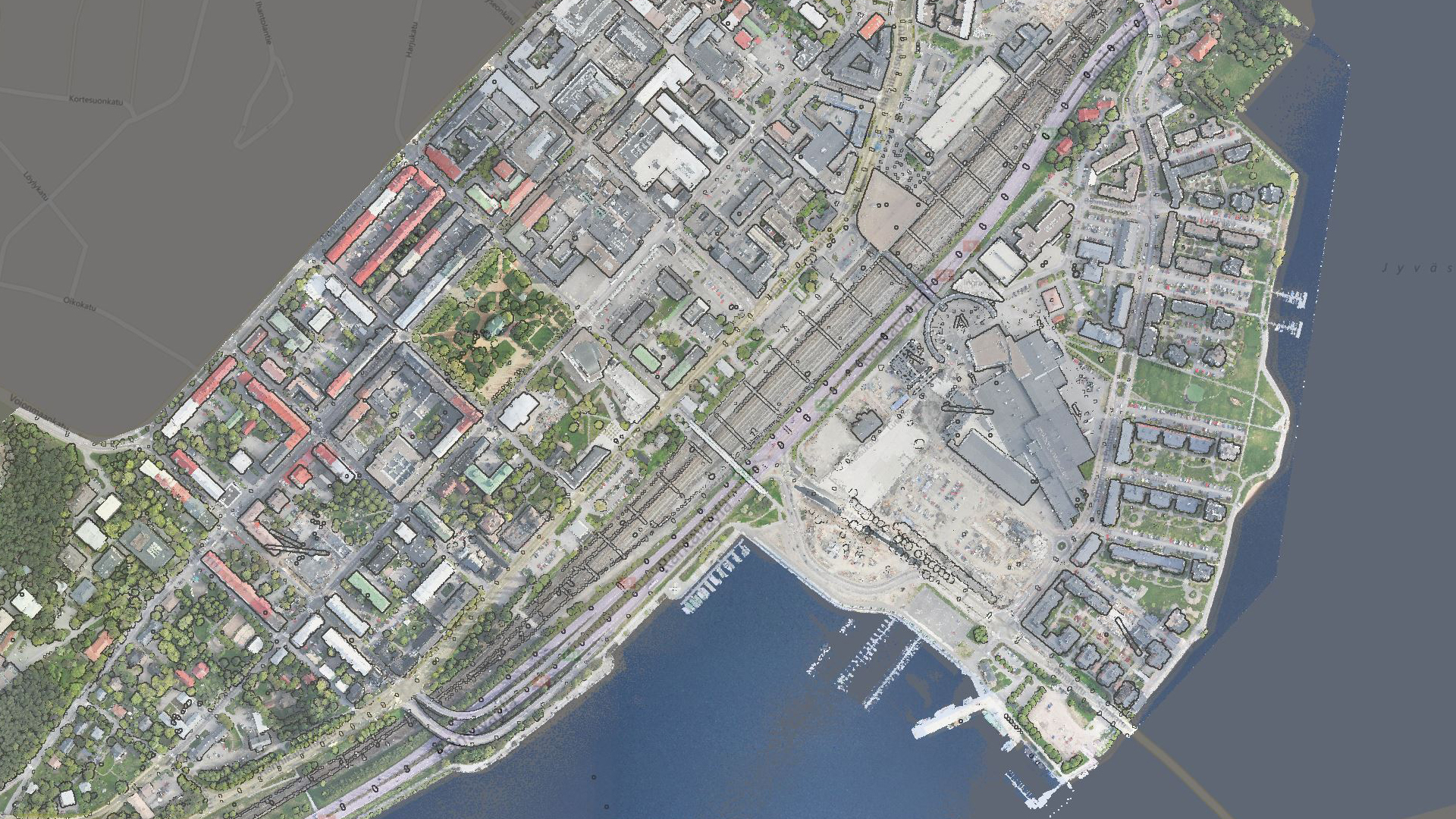
LiDAR and point-cloud processing
A TerraScan licence includes TerraBatch use on the same computer. Full, UAV and Lite editions provide different toolsets.
Features and licensing
Edition availability and included tools vary by product. Contact our team to confirm the appropriate licence, platform and configuration.
Editions and licence durations
| Edition | Available licences |
|---|---|
| Full | Perpetual licence, 1-year subscription, 6-month subscription, 2-month subscription |
| UAV | Perpetual licence, 1-year subscription, 6-month subscription, 2-month subscription |
| Lite | Perpetual licence, 1-year subscription, 6-month subscription |
Compatibility and licence scope
A TerraScan licence includes TerraBatch use on the same computer. Full, UAV and Lite editions provide different toolsets.
Subscriptions include maintenance for the selected term. Annual maintenance for an existing perpetual licence is available separately; it is not a new software licence.
Let us define the right solution for your project.
Contact Atay Mühendislik for software selection, licence scope, training and technical support.