
TerraPhoto
Orthorectification and orthophoto productionProcess aerial imagery against terrain models to produce orthophotos. TerraPhoto focuses on imagery acquired alongside LiDAR and on preparing visual deliverables.
From data to deliverables.
Correct imagery
Orthorectify images using a terrain model.
Balance colours
Manage colour consistency and mosaic adjustments in orthophoto workflows.
Combine data
Use image information for point-cloud colourisation and visualisation.
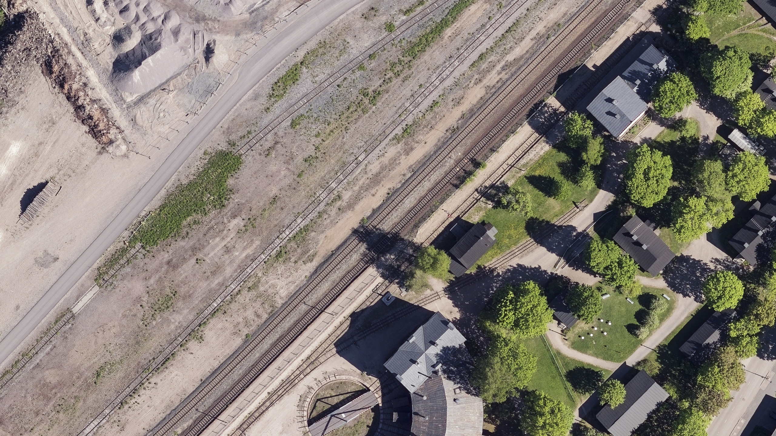
Orthorectification and orthophoto production
Functions vary between Full, UAV and Lite editions. Camera data and compatibility with other Terrasolid modules should be considered when choosing a licence.
Features and licensing
Edition availability and included tools vary by product. Contact our team to confirm the appropriate licence, platform and configuration.
Editions and licence durations
| Edition | Available licences |
|---|---|
| Full | Perpetual licence, 1-year subscription, 6-month subscription, 2-month subscription |
| UAV | Perpetual licence, 1-year subscription, 6-month subscription, 2-month subscription |
| Lite | Perpetual licence, 1-year subscription, 6-month subscription |
Compatibility and licence scope
Functions vary between Full, UAV and Lite editions. Camera data and compatibility with other Terrasolid modules should be considered when choosing a licence.
Subscriptions include maintenance for the selected term. Annual maintenance for an existing perpetual licence is available separately; it is not a new software licence.
Let us define the right solution for your project.
Contact Atay Mühendislik for software selection, licence scope, training and technical support.