
TerraModeler
Surface modelling and terrain analysisBuild triangulated surface models from LiDAR points, XYZ coordinates and drawing elements. TerraModeler brings together tools for modelling, editing and comparing terrain.
From data to deliverables.
Create surfaces
Generate digital surface models from different coordinate and point sources.
Interpret terrain
Explore surfaces with contours, profiles and visualisation tools.
Measure change
Evaluate volumes and elevation or volume differences between models.
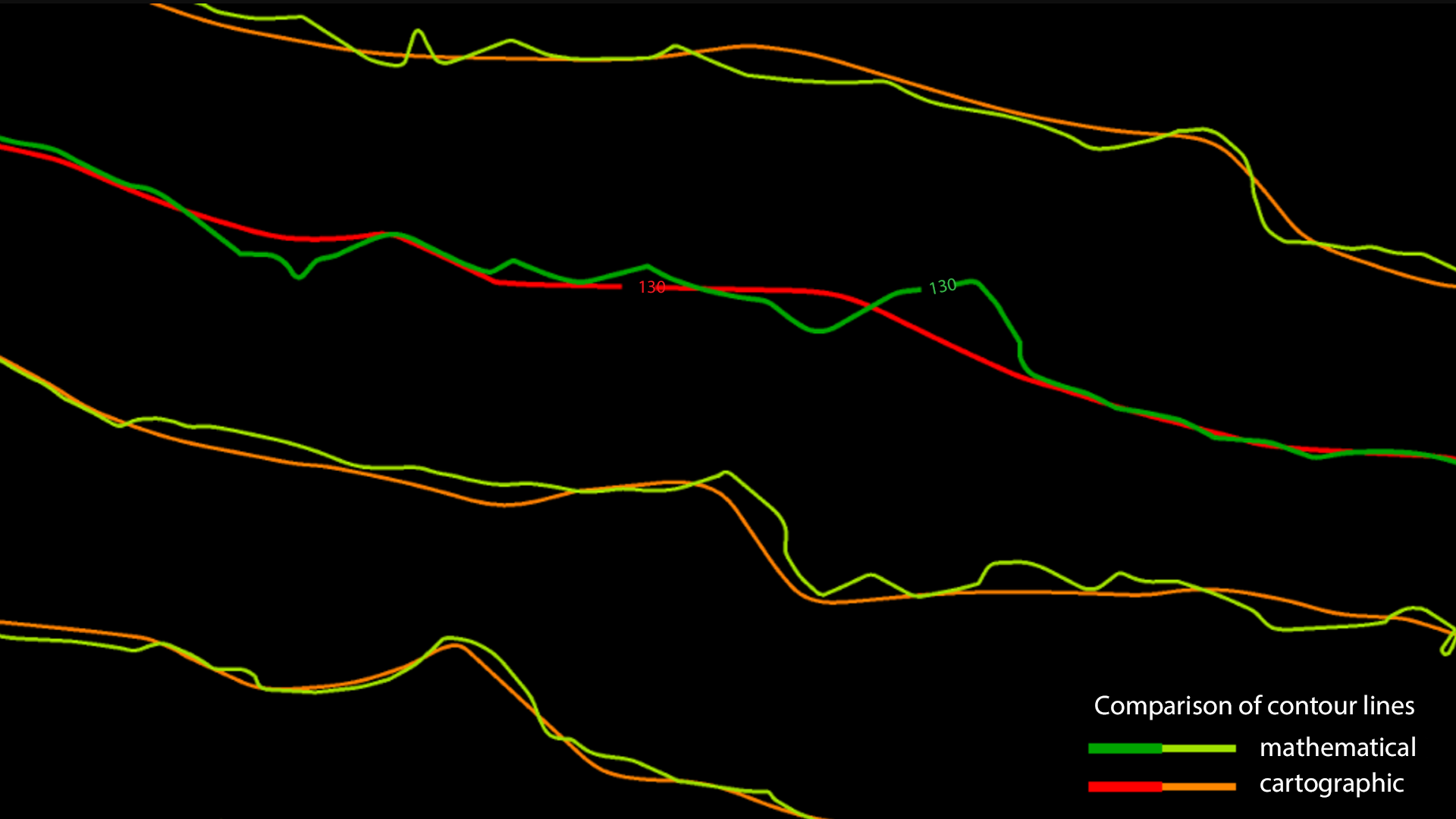
Surface modelling and terrain analysis
Full, UAV and Lite editions offer different capabilities. TerraPhoto can be used in image-textured surface workflows.
Features and licensing
Edition availability and included tools vary by product. Contact our team to confirm the appropriate licence, platform and configuration.
Editions and licence durations
| Edition | Available licences |
|---|---|
| Full | Perpetual licence, 1-year subscription, 6-month subscription, 2-month subscription |
| UAV | Perpetual licence, 1-year subscription, 6-month subscription, 2-month subscription |
| Lite | Perpetual licence, 1-year subscription, 6-month subscription |
Compatibility and licence scope
Full, UAV and Lite editions offer different capabilities. TerraPhoto can be used in image-textured surface workflows.
Subscriptions include maintenance for the selected term. Annual maintenance for an existing perpetual licence is available separately; it is not a new software licence.
Let us define the right solution for your project.
Contact Atay Mühendislik for software selection, licence scope, training and technical support.