
TerraMatch
LiDAR calibration and strip adjustmentAnalyse discrepancies between overlapping LiDAR scans and reduce differences between strips. TerraMatch provides tools for system calibration and point-cloud matching.
From data to deliverables.
Identify differences
Inspect point-cloud discrepancies between overlapping flight or drive strips.
Adjust the data
Apply calibration and strip adjustments to reduce systematic errors.
Assess quality
Review matching results and data consistency with statistical tools.
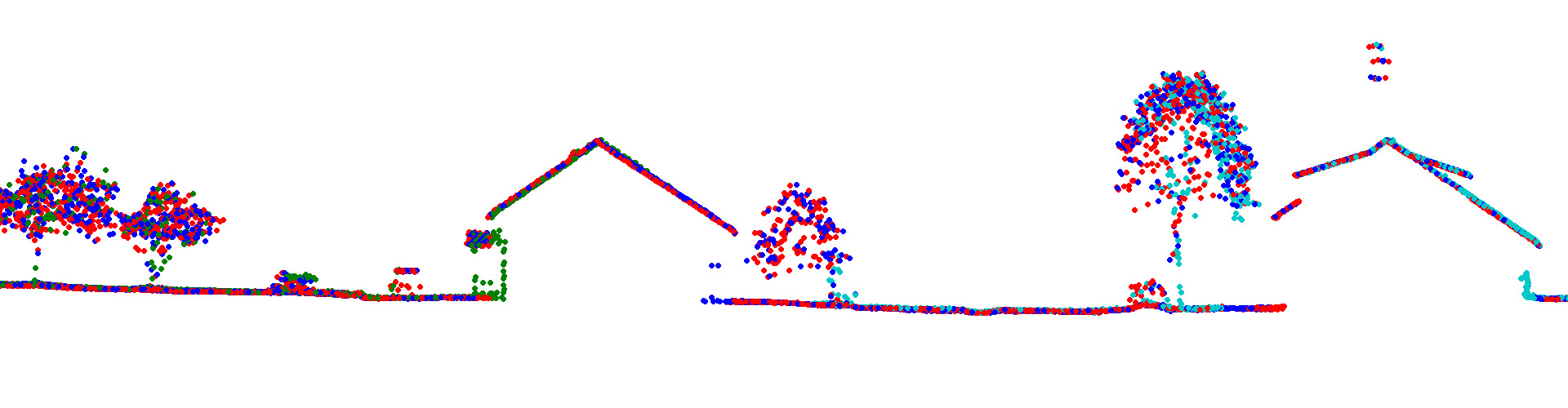
LiDAR calibration and strip adjustment
TerraMatch requires TerraScan, which is licensed separately. Full and UAV editions are available.
Features and licensing
Edition availability and included tools vary by product. Contact our team to confirm the appropriate licence, platform and configuration.
Editions and licence durations
| Edition | Available licences |
|---|---|
| Full | Perpetual licence, 1-year subscription, 6-month subscription, 2-month subscription |
| UAV | Perpetual licence, 1-year subscription, 6-month subscription, 2-month subscription |
Compatibility and licence scope
TerraMatch requires TerraScan, which is licensed separately. Full and UAV editions are available.
Subscriptions include maintenance for the selected term. Annual maintenance for an existing perpetual licence is available separately; it is not a new software licence.
Let us define the right solution for your project.
Contact Atay Mühendislik for software selection, licence scope, training and technical support.