
Qube 640
LiDAR sensor with integrated RGB camera Trinity ProQube 640 turns terrain, vegetation and structures into dense point clouds. Its wide field of view and integrated RGB camera combine scanning and colourisation in the same flight.
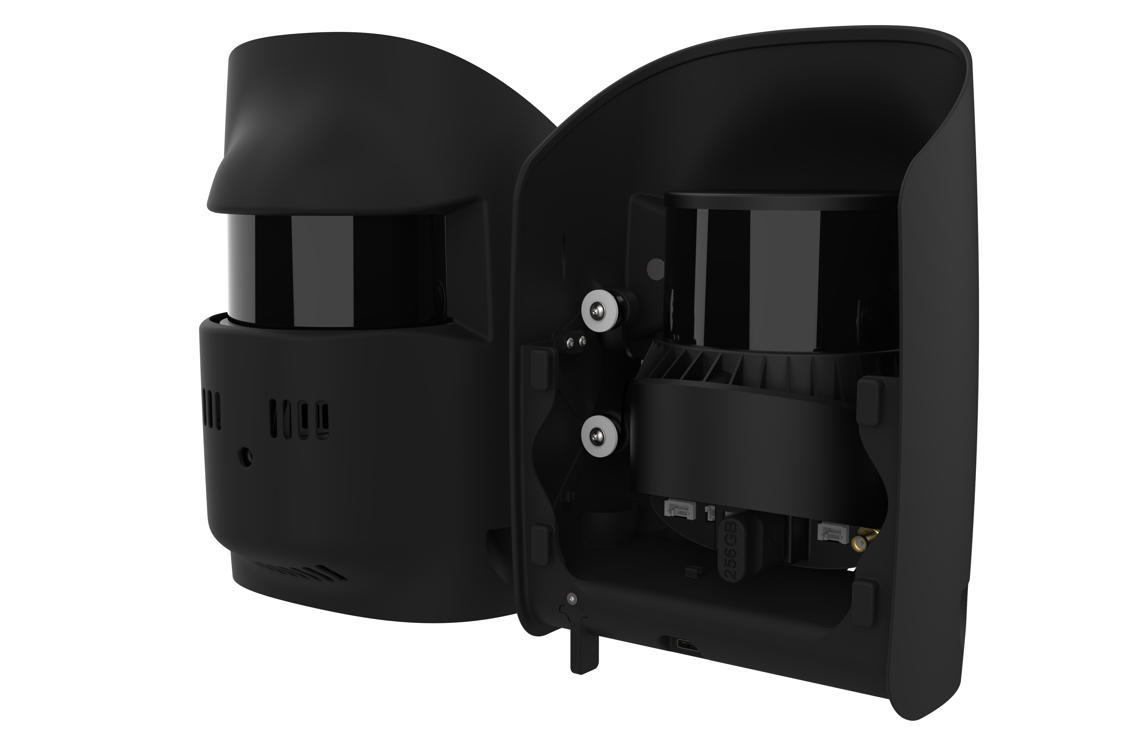
Capture three-dimensional terrain detail.
Multiple returns
Up to three returns per laser pulse support separation of vegetation and ground.
Wide scanning angle
The selectable field of view adapts to site geometry and mission planning.
Colourised point cloud
The integrated RGB camera enables evaluation of LiDAR data together with colour information.
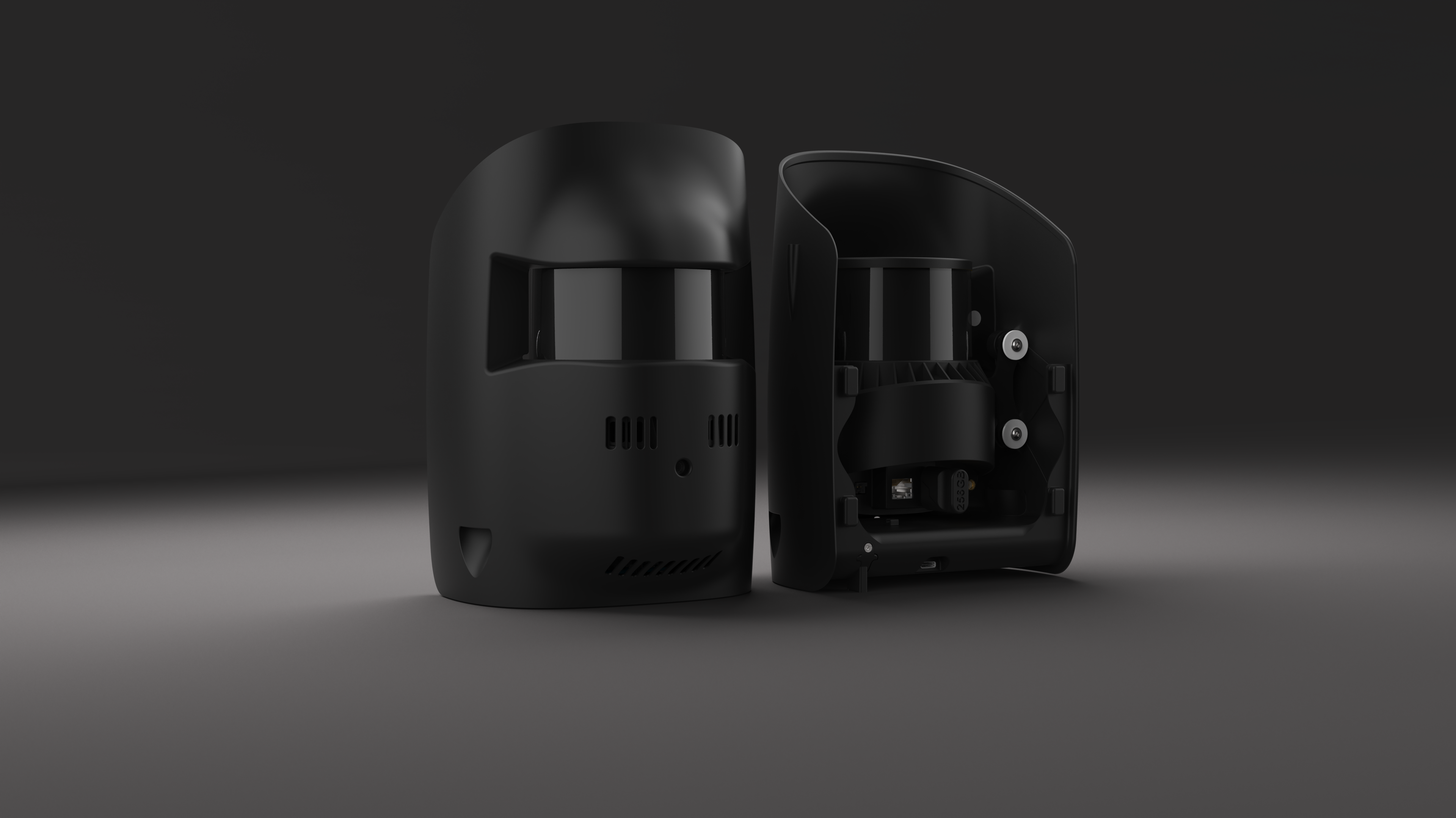
Scanning and positioning data together
The Hesai XT32M2X scanner and SBG Quanta Micro GNSS/inertial solution provide an integrated data-capture system for Trinity Pro.
Applications
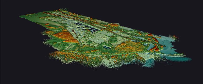
Terrain and corridor scanning
Vegetation analysis
3D documentation of structures
Product and application images: Atay Mühendislik / Quantum Systems.
Technical specifications
Tap a heading to view the details.
Scanner and data generation
| Specification | Qube 640 |
|---|---|
| Scanner | Hesai XT32M2X |
| GNSS / inertial solution | SBG Quanta Micro |
| Laser range | 300 m |
| Field of view | 176° × 40.3° |
| Laser pulse rate | 640,000 / second |
| Returns per pulse | Up to 3 |
| Maximum data points | 1,920,000 / second |
Measurement and imaging
| Specification | Qube 640 |
|---|---|
| Accuracy | 2.5 cm |
| Precision | 3 cm |
| Central point density — 100 m | 34–100 points/m² |
| Integrated camera | 8 MP — for colourisation |
Technical values are taken from the manufacturer's table. Laser range is not flight altitude; point density varies with speed, altitude and field of view.
Let us define the right solution for your project.
Contact Atay Mühendislik for Qube 640 (Trinity Pro) product selection, system configuration and technical support.