
PIX4Dmapper
Image processing, photogrammetry and digitisation softwareRGB · Multispectral · Thermal · VideoPIX4Dmapper is photogrammetry software that generates maps, point clouds and 3D models from different cameras and image types. Calibration, ground control points, quality reports and measurement tools provide detailed control over project data.

Measurable project data from different image types.
Broad data support
Work with RGB, multispectral and thermal imagery, as well as photograph and video sources.
Project control
Edit ground control and tie points; review results using calibration and quality reports.
Measurement and output
Measure lengths, areas and volumes; export point clouds, maps and models to CAD / GIS workflows.

Move forward with quality checks
Manage projects with automatic point-cloud classification, surface editing and processing templates. Evaluate results through detailed quality reports and check points.
Applications and outputs
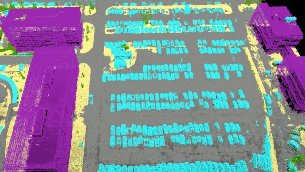
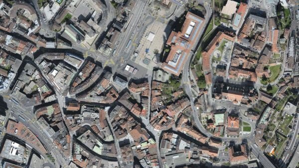
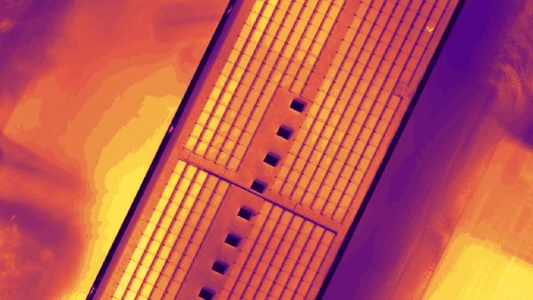
Images: application and output examples from the Atay Mühendislik product page.
Features and workflow
Tap a heading to view the details.
Inputs and project control
| Specification | PIX4Dmapper |
|---|---|
| Image types | RGB / multispectral / thermal / fisheye / 360° / multi-camera |
| Image formats | JPEG / TIFF |
| Video formats | MP4 / MOV / WMV / AVI |
| Large format | Additional LF licence for camera data of 55 MP and above |
| Quality control | Calibration and detailed quality report |
| Control points | GCP / check point / manual tie point |
Processing and measurement
| Specification | PIX4Dmapper |
|---|---|
| Operating environment | Desktop application |
| Automation | Saveable processing templates |
| Classification | Ground / road / high vegetation / building / human-made object |
| Surface editing | Planarity and hole filling |
| Measurements | Length / area / volume |
Point-cloud and map outputs
| Specification | PIX4Dmapper |
|---|---|
| Colourised point cloud | LAS / LAZ / PLY / XYZ |
| Classified point cloud | LAS / LAZ |
| Orthomosaic | GeoTIFF / KML |
| Contours | SHP / DXF / PDF |
| Digital terrain model | GeoTIFF |
| Digital surface model | GeoTIFF / XYZ / LAS / LAZ |
Other outputs
| Specification | PIX4Dmapper |
|---|---|
| Index map | GeoTIFF / SHP |
| Thermal map | GeoTIFF |
| Reflectance map | GeoTIFF |
| 3D mesh | PLY / FBX / DXF / OBJ / PDF |
| Mesh level of detail | OSGB / SLPK |
Processing time and output quality vary with the dataset, capture conditions and computer used.
Let us define the right solution for your project.
Contact Atay Mühendislik for software selection, licence scope, training and technical support.