
Zenmuse P1
Flexible Full-Frame Photogrammetry
A New Benchmark for Aerial Surveying
DJI Zenmuse P1, combines a full-frame sensor with interchangeable fixed-focal-length lenses on a three-axis stabilised gimbal. Photogrammetry flight missions are its focus, taking accuracy and efficiency to a new level.

Accuracy without GCPs
3 cm horizontal and 5 cm vertical accuracy.
High efficiency in a single flight
Photogrammetric data capture over large areas.
Full-frame sensor
Detailed, high-resolution aerial images.
Stabilised gimbal
Imaging from different angles with Smart Oblique Capture.
Global mechanical shutter
High-speed image capture.
Precise synchronisation
Microsecond-level time synchronisation.
[1] Accuracy values apply to mapping missions at 3 cm GSD, 15 m/s flight speed, 75% forward overlap and 55% side overlap. [2] Coverage depends on flight conditions. [3] For 1/2000 s, the f-number must be f/5.6 or lower.
All-Round Efficiency
DJI Zenmuse P1 Full-Frame Camera
- 45 MP full-frame sensor.
- 4.4 μm pixel size.
- Low-noise, high-sensitivity imaging extends daily working time.
- During flight, it captures a photograph every 0.7 seconds .
- TimeSync 2.0synchronises the camera, flight controller, RTK module and gimbal in time.

Smart Oblique Capture
With DJI Zenmuse P1, in a single working day you can cover 7.5 km² . The gimbal automatically rotates to capture images at the required angles using Smart Oblique Capture , improving oblique photography mission efficiency. At the edge of the flight area, only images needed for reconstruction are captured; post-processing efficiency can therefore improve by 20–50% .
Coverage and efficiency vary with mission plan, platform and flight conditions.
Missions for Your Project
2D Orthomosaic Mission
Use P1 to generate orthomosaics without ground control points (GCPs) for medium- to large-area operations.
3D Oblique Mission
Capture oblique images from multiple angles for 3D reality models and smart-city planning. Collect data for 3D modelling in urban planning and cadastral surveys requiring centimetre-level accuracy.
Detailed Modelling Mission
Image vertical or sloping surfaces from a safe distance for geological surveys, detailed reconstruction, heritage conservation and hydraulic engineering. Ultra-high-resolution data supports faithful reconstruction of fine textures, structures and features.
Real-Time Mapping Mission
Use DJI Terra to capture geographic information across large areas in real time, helping teams make important decisions quickly in the field.
Technical Specifications
All the details, together.
General
| Product name | ZENMUSE P1 |
|---|---|
| Dimensions | 198 × 166 × 129 mm |
| Weight | Approximately 800 g |
| Power | 20 W |
| IP rating | IP4X |
| Supported aircraft | Matrice 300 RTK, Matrice 350 RTK and Matrice 400 |
| Operating temperature | −20 °C to +50 °C (−4 °F to +122 °F) |
| Storage temperature | −20 °C to +60 °C (−4 °F to +140 °F) |
| Absolute accuracy | Horizontal: 3 cm · Vertical: 5 cm [1] |
Camera
| Sensor | Photo sensor size: 35.9 × 24 mm (full frame) Maximum video recording area: 34 × 19 mm Effective pixels: 45 MP Pixel size: 4.4 μm |
|---|---|
| Supported lenses | DJI DL 24mm F2.8 LS ASPH — FOV 84° DJI DL 35mm F2.8 LS ASPH — FOV 63.5° DJI DL 50mm F2.8 LS ASPH — FOV 46.8° With lens hood and balancing ring/filter. |
| Supported SD cards | UHS-I rated SD card or higher Maximum capacity: 512 GB |
| Stored files | Photographs / raw GNSS observation data / image log file |
| Photo size | 3:2 (8192 × 5460 pixels) |
| Operating modes | Photo, video, playback |
| Minimum photo interval | 0.7 s |
| Shutter speed | Mechanical shutter: 1/2000–1 s [3] Electronic shutter: 1/8000–1 s |
| Aperture range | f/2.8–f/16 |
| ISO range | Photo: 100–25600 Video: 100–25600 |
Video
| Video format | MP4, MOV |
|---|---|
| Video resolution | 16:9 (1920 × 1080) 16:9 (3840 × 2160) — 35 mm lens only. |
| Frame rate | 60 fps |
- Absolute accuracy of 3 cm horizontally and 5 cm vertically: under mapping mission conditions with 3 cm GSD, 15 m/s flight speed, 75% forward overlap and 55% side overlap. Field results may vary.
- 3 km² in one flight is the manufacturer's stated coverage. Actual coverage depends on platform, altitude, overlap and environmental conditions.
- For the maximum mechanical shutter speed of 1/2000 s, the f-number must be f/5.6 or lower.
Let Us Select the P1 for Your Project
Let us assess your platform, lens and photogrammetry workflow requirements together.
Contact UsApplications
Detailed data for your project, from terrain to infrastructure.
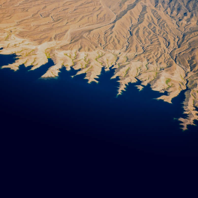
Topographic Mapping
Capture high-accuracy terrain data for topographic mapping without ground control points.
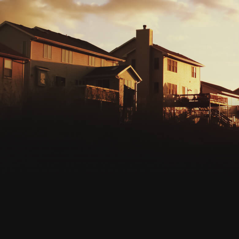
Cadastral Surveys
Support cadastral work targeting centimetre-level accuracy with three-dimensional reality models.
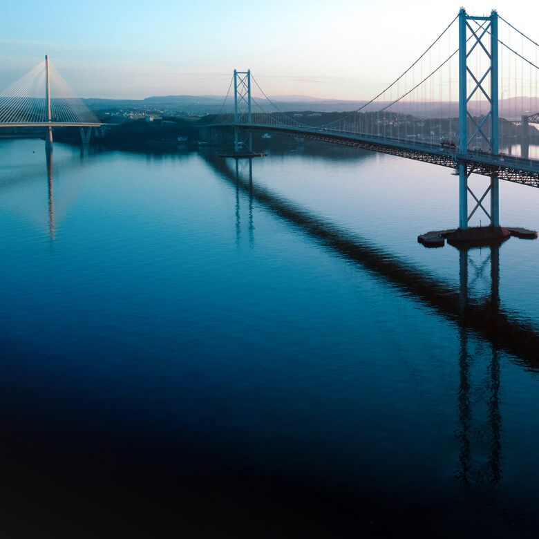
Architecture, Engineering and Construction
Plan, monitor and manage the entire project lifecycle with 2D and 3D drone data.
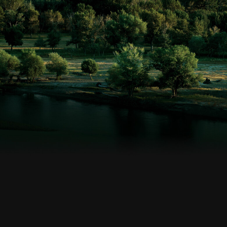
Natural Resource Management
Generate data for surveying, classification and ownership assessment of water bodies and forests.
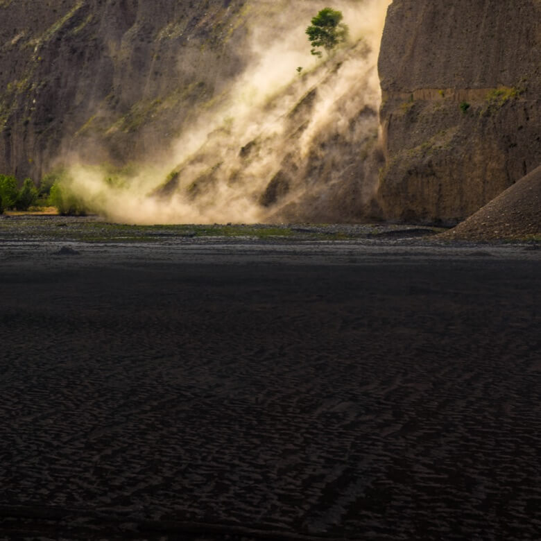
Geological Surveys
Capture detailed aerial data by imaging geological hazard areas from a safe distance.
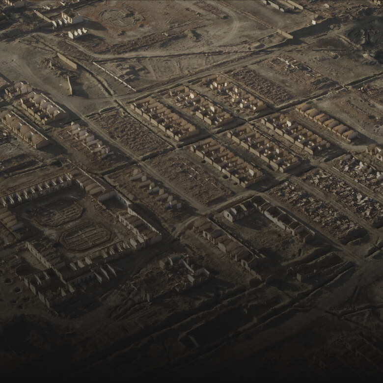
Disaster-Area Modelling
Model large disaster-affected areas to help teams assess conditions and make critical decisions.