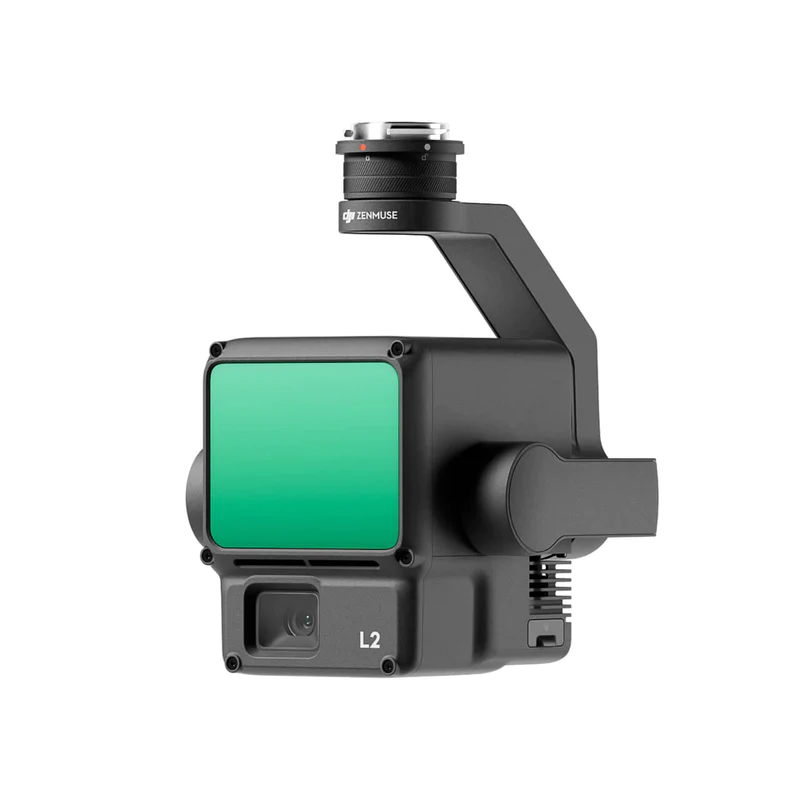
DJI Zenmuse L2

Strong Range, High Precision

High Precision Aerial LiDAR System

DJI Zenmuse L2 integrates a high-accuracy IMU system developed by DJI, integrating the frame LiDAR and 4/3 CMOS RGB mapping camera into DJI flight platforms. This makes the process of geographic data collection more precise, efficient, and reliable. When used with DJI Terra, it offers a complete solution for 3D data collection and high-accuracy post-processing.

DJI Zenmuse L2, an integrated LiDAR solution, can support precise scanning of complex objects and rapid point cloud acquisition thanks to its powerful hardware. Users can easily preview, play, and process point cloud models with Task Quality Reports generated by DJI Terra during operations, which helps increase overall efficiency. This allows users to access high-precision point cloud results post-processing from a single point.

Exceptional Efficiency

It can be activated instantly and has the ability to collect geographic and RGB data over an area of 2.5 km² with a single flight.

High Level of Precision

Using our high-accuracy IMU system that we developed, which is integrated with GNSS, this solution can achieve 4 cm vertical accuracy and 5 cm horizontal accuracy.

Intuitive Use

Integrated with Matrice 350 RTK and DJI Terra, L2 offers a turnkey solution that is easy to use and reduces operational thresholds.

30% Increase in Detection Range

DJI Zenmuse L2 can detect up to 250 meters at 100 klx light intensity with 10% reflection and up to 450 meters at 0 klx light intensity with 50% reflection. The typical operational altitude has now been raised to 120 meters, which makes a significant contribution to operational safety and efficiency.

Smaller Laser Points, Denser Point Clouds

Because L2 has a reduced point size of 4×12 cm at a distance of 100 meters, it not only detects smaller objects in more detail, being only one-fifth the size compared to L1, but it can also penetrate denser vegetation and create more accurate digital elevation models (DEM).

Supports 5 Returns

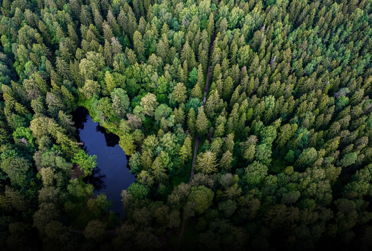
L2 can capture more ground points under the vegetation in areas with dense vegetation.

Effective Point Cloud Speed: 240,000 pt/s

L2, in both single and multiple return modes, can reach a maximum point cloud emission speed of 240,000 points per second, allowing for more point cloud data to be obtained in a certain time period.

Two Scanning Modes

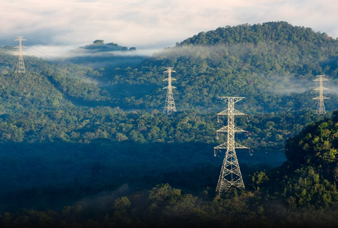
DJI Zenmuse L2 supports two different scanning modes, offering users flexibility according to their tasks. In the repeating scanning mode, L2’s LiDAR system meets the requirements of high-precision mapping and creates more homogeneous and accurate point clouds. In the non-repeating scanning mode, it provides more in-depth information, making it suitable for scenarios such as power line inspection, forestry research, and similar scenarios.

Frame-Based Design

The frame-based design offers up to 100% effective point cloud data speed. The three-axis gimbal also brings more flexibility to measurement scenarios.

High Accuracy IMU System for Enhanced Accuracy

The high-accuracy IMU system, when combined with the drone’s RTK positioning system, allows L2 to access extremely accurate absolute position, speed, and attitude information during the post-processing stage for data fusion. In addition, the advanced environmental adaptability of the IMU system enhances the operational reliability and accuracy of L2.

Deviation Accuracy

Real-time: 0.2°, post-processing: 0.05°

Pitch/Roll Accuracy

Real-time 0.05°, post-processing 0.025°

The performance of the IMU system has been significantly enhanced and is ready for use as soon as it is activated. In addition, the drone next to it is ready to start the mission immediately when it switches to the RTK FIX status, offering an optimized field experience.

RGB Mapping Camera

4/3 CMOS Sensor, Mechanical Shutter

The pixel size has been expanded to 3.3 μm and the effective pixels now reach 20 MP; this not only results in a noticeable improvement in overall imaging quality, but also further enriches the details of the true color point cloud. The minimum photo shooting interval has been reduced to 0.7 seconds. The shutter count of the mapping camera can reach up to 200,000, which further reduces operating costs. When there is no need to collect point cloud, the RGB camera can still take photos and videos or collect images for visible light mapping.

DJI TERRA

DJI Terra is a 3D modeling software based on photogrammetry technology. It supports the accurate and efficient reconstruction of various data and visible light using DJI LiDAR. DJI Terra is an ideal option for DJI Enterprise drones and accessories. It seamlessly integrates to provide a complete application solution for various industries such as soil analysis, mapping, energy transmission, emergency services, construction, transportation, and agriculture.

Realistic 3D models can be created in three different resolutions (high, medium, and low) with DJI Terra. Water surfaces are automatically optimized using artificial intelligence technology, and models can be exported to widely used formats for a wide range of scenarios including terrain measurement and mapping, accident scenes, energy grid equipment, and construction projects. This makes processes like image reconstruction and progress monitoring easily achievable across various domains.

The algorithm is optimized for different scenarios to significantly increase processing efficiency, effectively prevent image distortion and deformation, and achieve detailed and accurate measurement results for your target objects and research areas.

LiDAR

With just a single click, DJI Terra facilitates the high-accuracy processing of point cloud data captured by Zenmuse LiDAR. These processes include route calculation, precise alignment of point cloud and visible light data, optimization of point cloud accuracy, ground point extraction, DEM generation, and task report output.

Multispektral

Multispectral data obtained from DJI Mavic 3 Multispectral and P4 Multispectral can be utilized to provide insights into plant growth and health, generating plant index maps such as NDVI and NDRE. Additionally, with support for radiometric correction, reflectance maps can be created for remote sensing studies. Using DJI’s Agras drones, prescription maps can be generated for variable rate applications, serving the purpose of increasing crop yield while reducing costs.

Advanced Operational Experience

It supports Waypoint, Area, and Linear Route types to perform measurement tasks in different environments.

DJI Pilot 2 supports three display modes during operation: RGB, point cloud, and point cloud/RGB side-by-side display, presenting operational results in an understandable manner. The activation of RNG (Laser Distance Meter) provides the opportunity to track the distance with the object in the center of the FOV with the LiDAR module, increasing flight safety. It also supports four real-time point cloud coloring modes: Reflectivity, Height, Distance, and RGB.

After the operation, the 3D point cloud model can be viewed directly. In addition, the 3D point cloud models of multiple flights can be merged, allowing on-the-spot decisions to be made about operational quality.

After the point cloud data is collected, the DJI Pilot 2 application automatically generates a Task Quality Report. This allows operators to check operational results in real time and on site, making field work more precise and worry-free.

While transferring point cloud data to DJI Terra, you can perform efficient and reliable post-processing operations from a single point. After point cloud trajectory calculation and accuracy optimization, you can create a standard format 3D point cloud model with just one click. In addition, you can get a DEM output on ground point classification using Ground Point Type. You can analyze the quality of the point cloud with Accuracy Check and Control functions.

While transferring point cloud data to DJI Terra, you can perform efficient and reliable post-processing operations from a single point. After the completion of point cloud trajectory calculation and accuracy optimization, you can create a standard format 3D point cloud model with just one click. In addition, you can get a DEM output by classifying ground points using Ground Point Type. You can analyze the quality of the point cloud with Accuracy Check and Control functions.

TEKNİK ÖZELLİKLER

Ürün Adı ZenMuse L2

Boyutlar 155×128×176 mm (W×D×H)

Ağırlık 905±5 g

Güç 28 W (tipik) 58 W (maks.)

IP Derecelendirme IP54

Desteklenen Uçak Matrice 300 RTK (DJI RC Plus gerektirir) Matrice 350 RTK

Depolama Sıcaklığı -20° ila 60° C (-4° to 140° F)

Detection Range

Measured with a flat object with a vertical development angle and atmospheric visibility of 23 km, typical data:
– 450m @ 50% reflectivity, 0 klx
– 250m @ 10% reflectivity, 100 klx

Optimum detection range of laser beams can be achieved in low-light environments. If a laser beam hits multiple objects, the total laser transmitter power is divided, reducing the achievable range. Maximum detection range is 500m.

Point Cloud Density
Single return: max. 240,000 pts/s
Multiple returns: max. 1,200,000 pts/s

System Accuracy
Horizontal: 5 cm @ 150 m
Vertical: 4 cm @ 150 m

Measured under the following conditions in DJI laboratory environment:
– Zenmuse L2 mounted and operated on Matrice 350 RTK.
– Use of DJI Pilot 2’s Field Route to plan flight routes (while IMU Calibration is active).
– Utilization of repeated scans with RTK in FIX status.
– Relative altitude set to 150m, flight speed at 15 m/s, gimbal pitch at -90°, and each straight section of flight route was less than 1500m.
– The area contained distinct angular features and utilized control points of exposed hard surfaces with a scattered reflection model.
– DJI Terra was used for final processing with Optimized Point Cloud Accuracy enabled. Under the same conditions but with Optimized Point Cloud Accuracy disabled, vertical accuracy is 4 cm and horizontal accuracy is 8 cm.

Real-time Point Cloud Coloring Coding
Reflectivity, Height, Distance, RGB’

Range Accuracy (RMS 1σ)

Measured at a distance of 150m with an object having 80% reflectivity in an environment of 25°C (77°F):
– 2 cm @ 150 m

The actual environment may differ from the test environment. The listed figures are for reference purposes only.

Supported Maximum Returns
5

Scanning Modes
Non-repetitive scanning mode, Repetitive scanning mode

Field of View
Repetitive scanning mode: Horizontal 70°, Vertical 3°
Non-repetitive scanning mode: Horizontal 70°, Vertical 75°

Minimum Detection Range
3 m

Laser Beam Divergence
Horizontal 0.2 mrad, Vertical 0.6 mrad

Measured at full width at half maximum (FWHM) conditions. A divergence of 0.6 mrad means that the diameter of the laser beam widens by 6 cm for every 100 meters increase in distance.

Laser Wavelength
905 nanometers

Laser Point Size
Horizontal 4 cm, Vertical 12 cm @ 100 m (FWHM)

Laser Pulse Emission Frequency
240 kHz

Laser Safety
Class 1 (IEC 60825-1:2014)

Accessible Emission Limit (AEL)
233.59 nJ

Effective Aperture
Effective Aperture: 23.85 mm (equivalent to circular)

Maximum Laser Pulse Emission Power in 5 Nanoseconds
46,718 W

IMU Update Rate
200Hz

Accelerometer Range
±6 g

Gyroscope Range
±300 dps

Deviation Accuracy (RMS 1σ)

Real-time: 0.2°, Post-processing: 0.05°

Measured under the following conditions in DJI laboratory environment: Zenmuse L2 mounted and operated on Matrice 350 RTK. Utilization of DJI Pilot 2’s Field Route to plan flight routes (while IMU Calibration is active). RTK in FIX status. Relative altitude set to 150 m, flight speed at 15 m/s, gimbal pitch at -90°, and each straight section of flight route was less than 1500 m.

Pitch/Roll Accuracy (RMS 1σ)

Real-time: 0.05°, Post-processing: 0.025°

Measured under the following conditions in DJI laboratory environment: Zenmuse L2 mounted and operated on Matrice 350 RTK. Utilization of DJI Pilot 2’s Field Route to plan flight routes (while IMU Calibration is active). RTK in FIX status. Relative altitude set to 150 m, flight speed at 15 m/s, gimbal pitch at -90°, and each straight section of flight route was less than 1500 m.

Horizontal Positioning Accuracy
RTK Correction: 1 cm + 1 ppm

Vertical Positioning Accuracy
RTK Correction: 1.5 cm + 1 ppm

Sensor
4/3 CMOS, Effective Pixels: 20 MP

Lens
Field of View (FOV): 84°
35mm Format Equivalent: 24 mm
Aperture: f/2.8-f/11
Focus Points: 1 m – ∞ (with autofocus)

Shutter Speed
Mechanical Shutter: 2-1/2000 s
Electronic Shutter: 2-1/8000 s

Shutter Count
200,000

Photo Size
5280×3956 (4:3)

Still Photo Modes
Single Shot: 20 MP
Timed Shot: 20 MP
JPEG Timed Interval: 0.7/1/2/3/5/7/10/15/20/30/60 s
RAW/JPEG + RAW Timed Interval: 2/3/5/7 /10/15/20/30/60 s

Video Codec and Resolution
H.264
4K: 3840×2160@30fps
FHD: 1920×1080 @30fps

ISO
Video: 100-6400
Photo: 100-6400

Video Bit Rate
4K: 85 Mb/s
FHD: 30 Mb/s

Supported File System
exFAT

Photo Format
JPEG/DNG (RAW)

Video Format
MP4 (MPEG-4 AVC/H.264)

Stabilization System
3-axis (tilt, pan, roll)

Angular Vibration Range
0.01°

Mounting
Detachable DJI SKYPORT

Mechanical Range
Tilt: -143° to +43°
Pan: ±105°* Structural limit, uncontrollable range.

Controllable Range
Tilt: -120° to +30°
Pan: ±90°

Operation Modes
Follow/Free/Re-center

Raw Data Storage
Photos/IMU/Point Cloud/GNSS/Calibration files

Point Cloud Data Storage
Real-time modeling data storage

Supported microSD Cards
microSD: Sequential write speed of 50 MB/s or above and UHS-I Speed Class 3 or above; Maximum capacity: 256 GB. Use recommended microSD cards.

Recommended microSD Cards
– Lexar 1066x 64GB U3 A2 V30 microSDXC
– Lexar 1066x 128GB U3 A2 V30 microSDXC
– Kingston Canvas Go! Plus 128 GB U3 A2 V30 microSDXC
– Lexar 1066x 256 GB U3 A2 V30 microSDXC

Need to Learn More?