
CHCNAV · Ultra-Long-Range Airborne LiDAR System
CHCNAV AlphaAir 15 Pro
LiDAR and detailed aerial imagery for large survey areas
AlphaAir 15 Pro (AA15P) combines long-range laser scanning with nadir or oblique camera options for wide-area topography, corridor mapping and city-scale 3D modeling.
Request product information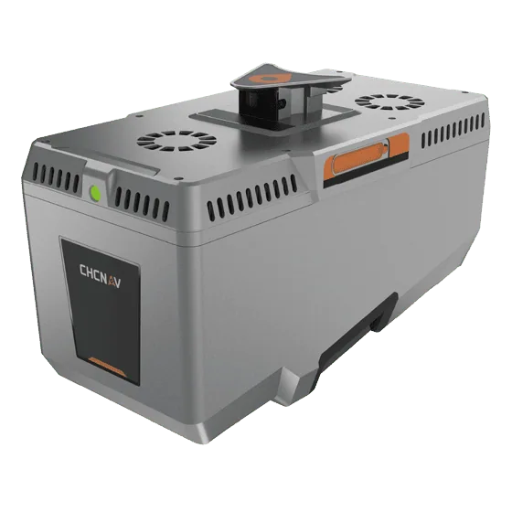
Key features
Range and survey planning
Laser range varies with target reflectivity. Plan flight parameters for terrain and required point density.
Nadir and oblique imaging
Consider the 100 MP nadir option for orthophotos or 300 MP oblique imaging for facades and textured models.
Integration
Review mounting options for compatible large fixed-wing UAVs or crewed aircraft.
Applications
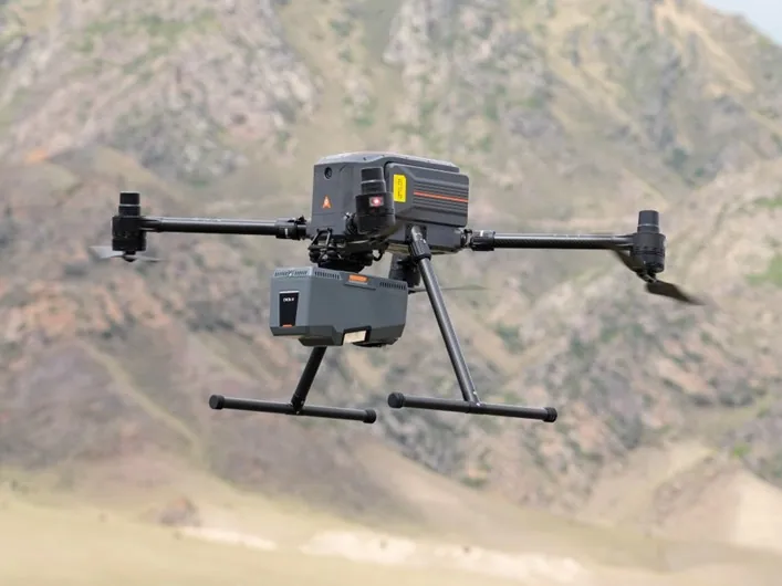
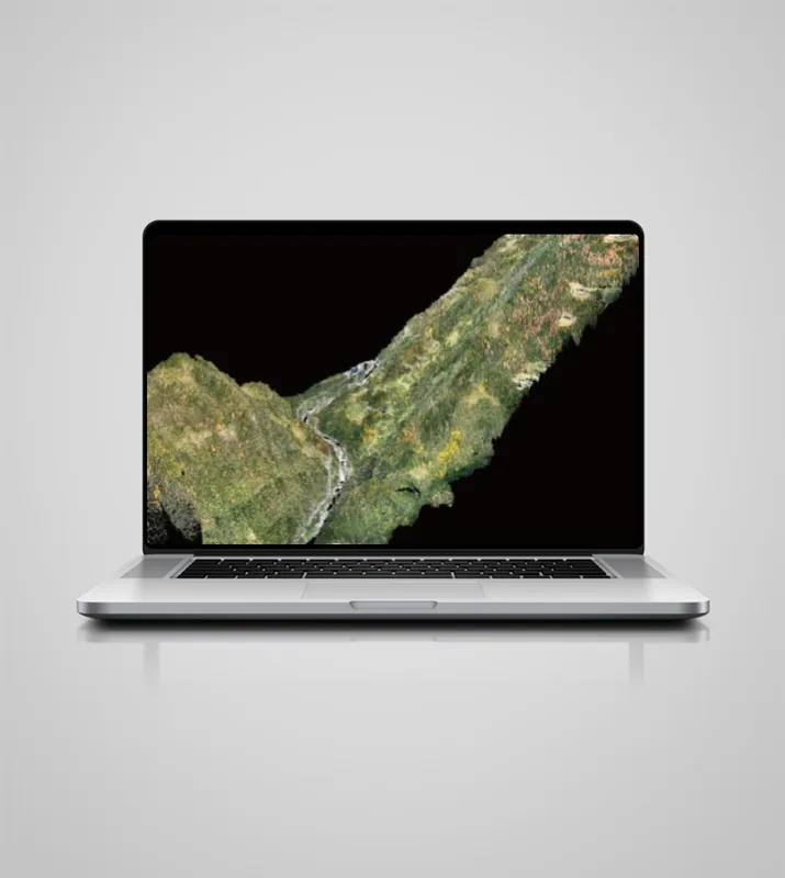
Wide-area topography · Utilities and transport corridors · City-scale 3D modeling
Technical specifications
| Maximum range at 80% reflectivity | 3,200 m |
|---|---|
| Maximum pulse repetition rate | 2.4 MHz |
| Maximum returns per pulse | 16 |
| Maximum range at 10% reflectivity | 1,400 m |
| LiDAR field of view | 75° |
| Inertial measurement unit | 600 Hz |
| System weight, manufacturer specification | 2.6 kg |
| Protection rating | IP64 |
Manufacturer values depend on the configuration and stated test conditions.
Frequently asked questions
What can I use this product for?
Wide-area topography · Utilities and transport corridors · City-scale 3D modeling
How do I select a configuration?
Consider the 100 MP nadir option for orthophotos or 300 MP oblique imaging for facades and textured models.
Find the right configuration for your project.
Contact us to discuss equipment, software and integration options.
Contact ATAY Explore all CHCNAV products