
CHCNAV · Vehicle-Mounted Mobile Mapping System
CHCNAV AU20 MMS
Capture 3D road and infrastructure data from a vehicle
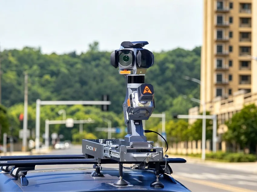
AU20 MMS integrates vehicle-mounted LiDAR, GNSS/IMU and configuration-dependent panoramic cameras for road inventories, pavement assessment and as-built mapping.
Request product information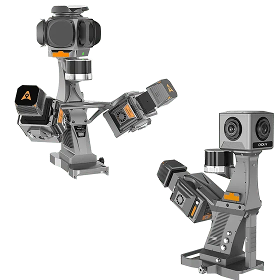
Key features
Vehicle-mounted capture
Capture georeferenced 3D data along roads and urban corridors.
Sensor options
Choose single or dual scanners and select a panoramic camera configuration for the project.
Data processing
Process trajectory and LiDAR data for road and asset inventory workflows.
Applications
Road inventories · Infrastructure and corridor surveying · Pavement maintenance planning
Technical specifications
| Maximum pulse repetition rate | 2 MHz |
|---|---|
| Maximum vehicle-mounted range | 250 m |
| LiDAR field of view | 360° |
| Maximum returns | 16 |
| Inertial measurement unit | 600 Hz |
| Internal storage | 2 TB |
| Protection rating | IP64 |
| Operating temperature | −20 °C – +50 °C |
Manufacturer values depend on the configuration and stated test conditions.
Frequently asked questions
What can I use this product for?
Road inventories · Infrastructure and corridor surveying · Pavement maintenance planning
How do I select a configuration?
Choose single or dual scanners and select a panoramic camera configuration for the project.
Find the right configuration for your project.
Contact us to discuss equipment, software and integration options.
Contact ATAY Explore all CHCNAV products