
CHCNAV · Handheld 3D Laser Scanner with GNSS RTK and SLAM
CHCNAV RS10
Unify indoor and outdoor capture in one survey workflow
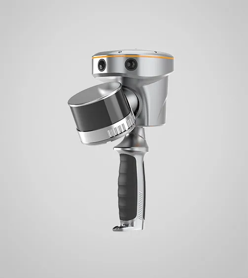
RS10 combines GNSS RTK, LiDAR and visual SLAM. The 16- and 32-channel configurations address different range and point density requirements.
Request product information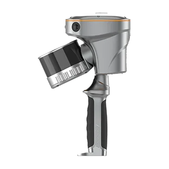
Key features
GNSS RTK and SLAM
Establish position outdoors and continue scanning with SLAM through covered sections.
Two scanner configurations
The 16-channel model is rated up to 120 m and the 32-channel model up to 300 m. Reflectivity and field conditions affect working range.
Field review
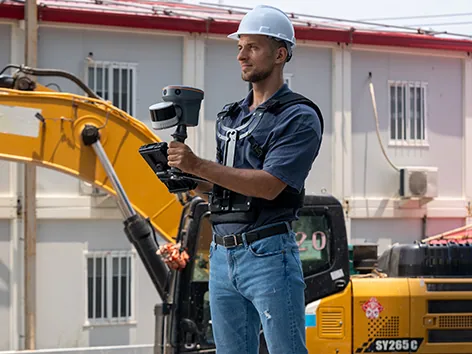
Review the point cloud and check coverage before leaving the survey site.
Applications
Topographic surveying · Building and facility documentation · Forestry and infrastructure mapping
Technical specifications
| LiDAR channel options | 16 / 32 |
|---|---|
| Manufacturer-specified maximum range | 120 / 300 m |
| Internal storage | 512 GB |
| 16-channel measurement rate, single return | 320,000 |
| 32-channel measurement rate, single return | 640,000 |
| GNSS and visual positioning | GNSS RTK + LiDAR SLAM + Visual SLAM |
| Single-battery runtime, manufacturer test | 1 hour |
Manufacturer values depend on the configuration and stated test conditions.
Frequently asked questions
What can I use this product for?
Topographic surveying · Building and facility documentation · Forestry and infrastructure mapping
How do I select a configuration?
The 16-channel model is rated up to 120 m and the 32-channel model up to 300 m. Reflectivity and field conditions affect working range.
Find the right configuration for your project.
Contact us to discuss equipment, software and integration options.
Contact ATAY Explore all CHCNAV products