
PIX4Dcatch PRO
Mobile 3D data-capture and augmented-reality applicationSmartphone / tablet · RTK and AR workflowsPIX4Dcatch PRO combines photogrammetric and LiDAR-based data capture on a smartphone or tablet. RTK connectivity and augmented-reality tools support image capture for infrastructure documentation, site verification and 3D model generation.
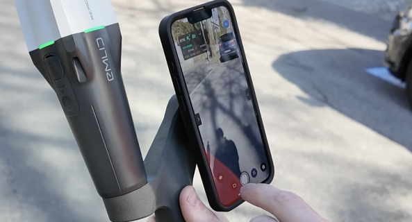
Record the site in 3D with your mobile device.
Scan coverage
Track scanned areas with live point-cloud and 3D mesh views; pause and resume capture.
Verification with AR
Compare project data using GCP detection and tools for viewing design overlays on site.
Processing options
Upload data to PIX4Dcloud or transfer it to PIX4Dmatic / PIX4Dmapper workflows.
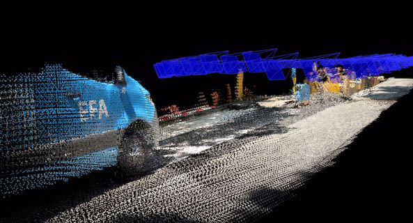
From capture to a measurable model
Images recorded with position and orientation information are prepared for photogrammetric processing. RTK-assisted capture options include Emlid Reach RX or PIX4D-compatible viDoc.
Applications and outputs
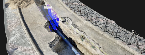
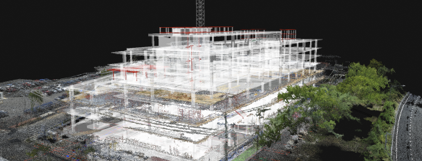
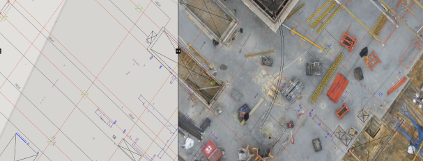
Images: application and output examples from the Atay Mühendislik product page.
Features and workflow
Tap a heading to view the details.
Data capture
| Specification | PIX4Dcatch PRO |
|---|---|
| Platform | Smartphone / tablet |
| Technologies | Photogrammetric and LiDAR-based mobile data capture |
| Recording | Image recording with position and orientation information |
| Scan feedback | Live 3D mesh / point-cloud viewer |
| Recording control | Pause and resume |
RTK and AR
| Specification | PIX4Dcatch PRO |
|---|---|
| RTK options | Emlid Reach RX / PIX4D-compatible viDoc |
| AR tools | Scan coverage, GCP detection and design overlays |
| Design formats | DXF / IFC / SHP |
| Applications | Infrastructure, construction, site verification, incident scenes and land surveys |
Processing and transfer
| Specification | PIX4Dcatch PRO |
|---|---|
| Cloud processing | Direct upload to PIX4Dcloud |
| Desktop processing | Transfer to PIX4Dmatic / PIX4Dmapper |
| Processed outputs | 3D model / point cloud |
| Teamwork | Cloud sharing and report workflows |
RTK, LiDAR and AR features require compatible hardware, applications and licences. Achieved accuracy depends on field conditions and data-capture quality.
Let us define the right solution for your project.
Contact Atay Mühendislik for software selection, licence scope, training and technical support.