
PIX4Dreact
Rapid 2D mapping software for emergency responseIn the field and office · Offline data processingPIX4Dreact is desktop software for generating current 2D maps from drone imagery. It provides measurable mapping data for disaster management, public safety and humanitarian teams working without an internet connection.
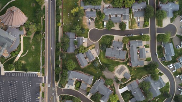
An up-to-date site map when needed.
Rapid field processing
Combine aerial images in the field or office to generate current 2D maps.
Marking and measurement
Identify key points and areas; record site information with measurements and annotations.
Easy sharing
Share maps, markers and reports customised with organisation details with your teams.
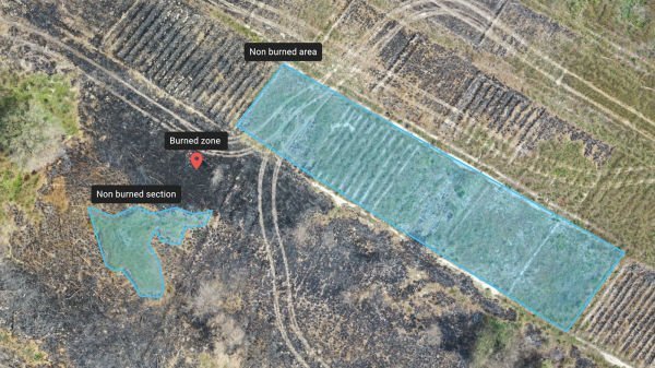
Mapping independent of internet connectivity
Image processing requires no cloud connection. Maps and measurements provide a shared site view for teams and decision-makers.
Applications and outputs
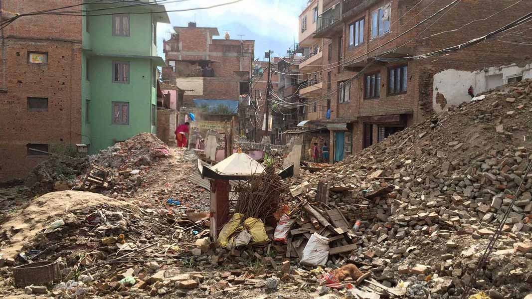
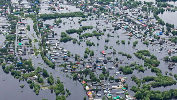
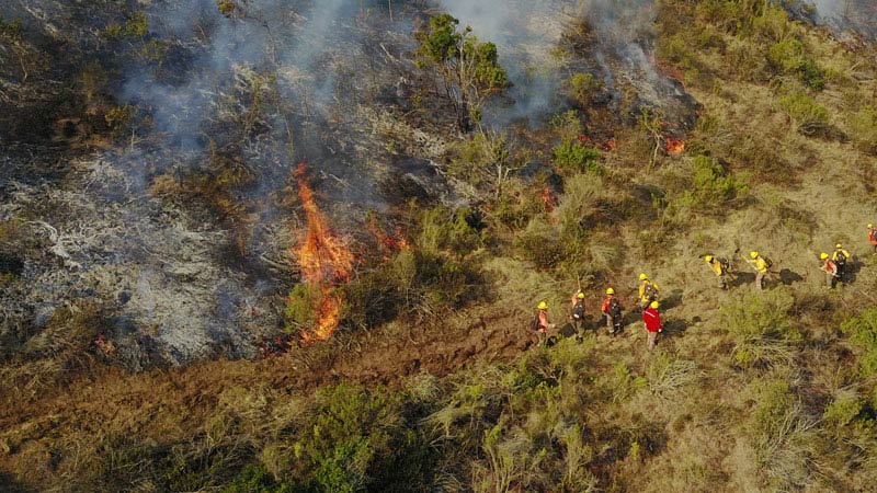
Images: application and output examples from the Atay Mühendislik product page.
Features and workflow
Tap a heading to view the details.
Processing and analysis
| Specification | PIX4Dreact |
|---|---|
| Input | UAV / drone aerial photographs |
| Main output | 2D orthomosaic map |
| Operating environment | Desktop computer; field or office |
| Internet for processing | Not required |
| Analysis | Point / area marking and measurement |
| Archiving | Maps, markers and measurements |
Export
| Specification | PIX4Dreact |
|---|---|
| Orthomosaic | GeoTIFF |
| Markers | GeoJSON / KML / Shapefile |
| Measurements | |
| Screenshot | JPEG |
| Full map / project | P4R |
| Customisable report | PDF; map, location, markers and organisation details |
Processing time and output quality vary with the dataset, capture conditions and computer used.
Let us define the right solution for your project.
Contact Atay Mühendislik for software selection, licence scope, training and technical support.