
Teledyne Optech ATLAScan
Polaris point-cloud processing softwarePlanning · Processing · Checking · ExportATLAScan processes raw Polaris scan data into deliverable outputs. It manages point clouds, images, GNSS and control points within one project, providing registration and georeferencing workflows.
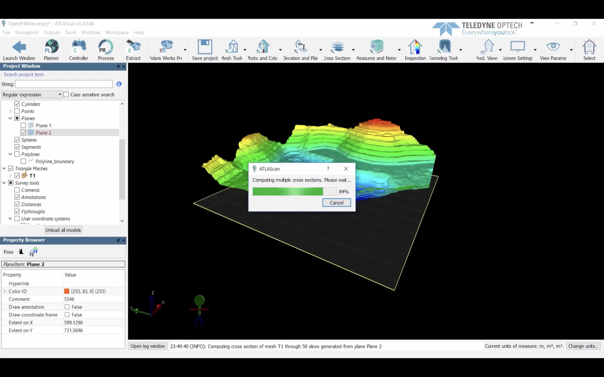
Manage scanning projects end to end.
Office planning
Prepare the scanning plan in the office for the operator to follow in the field.
Registration and referencing
Import cloud and image data; process the project with automatic preprocessing and adjustment tools.
Analysis and output
Use modelling, classification, area / volume and export tools according to the package scope.
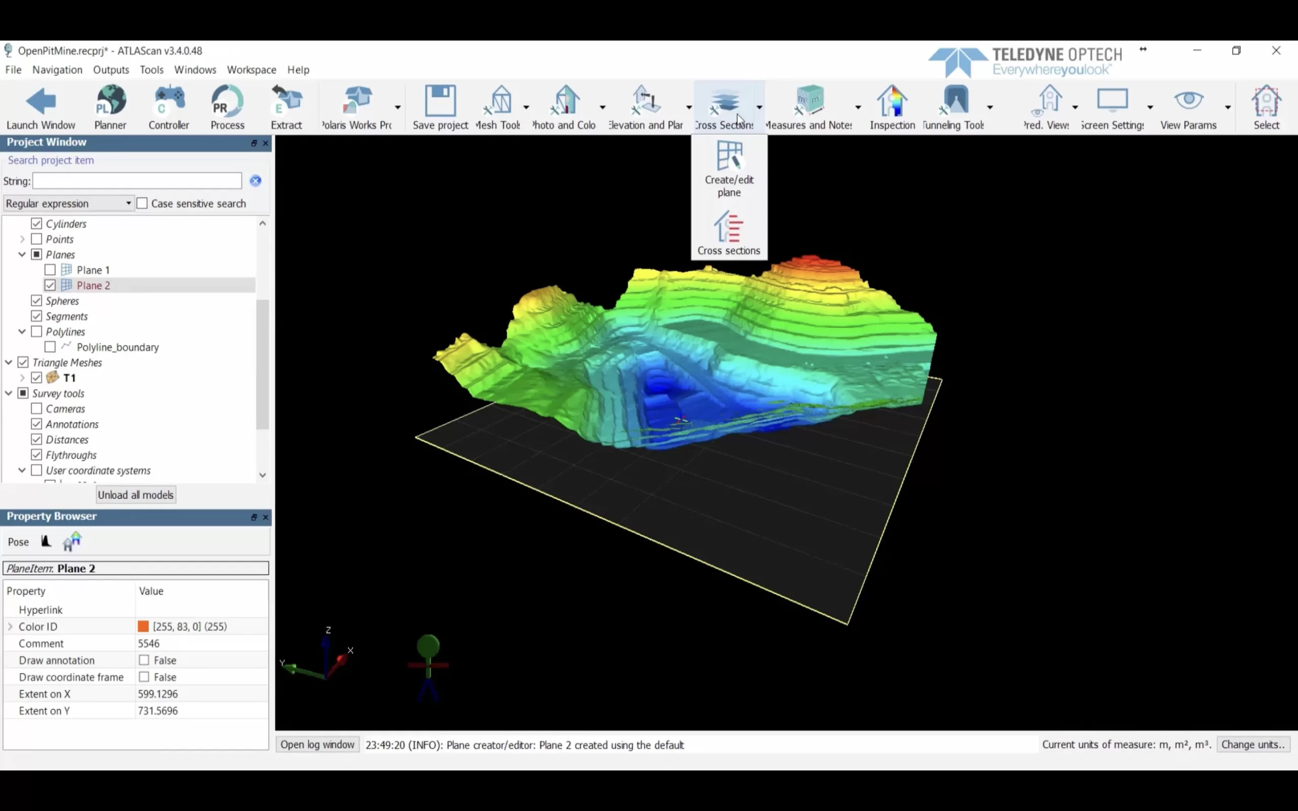
Data, measurements and models in one project
Manage GNSS data, control points, coordinate transformations, meshes, measurements and job files alongside point clouds within the project.
Applications and use cases
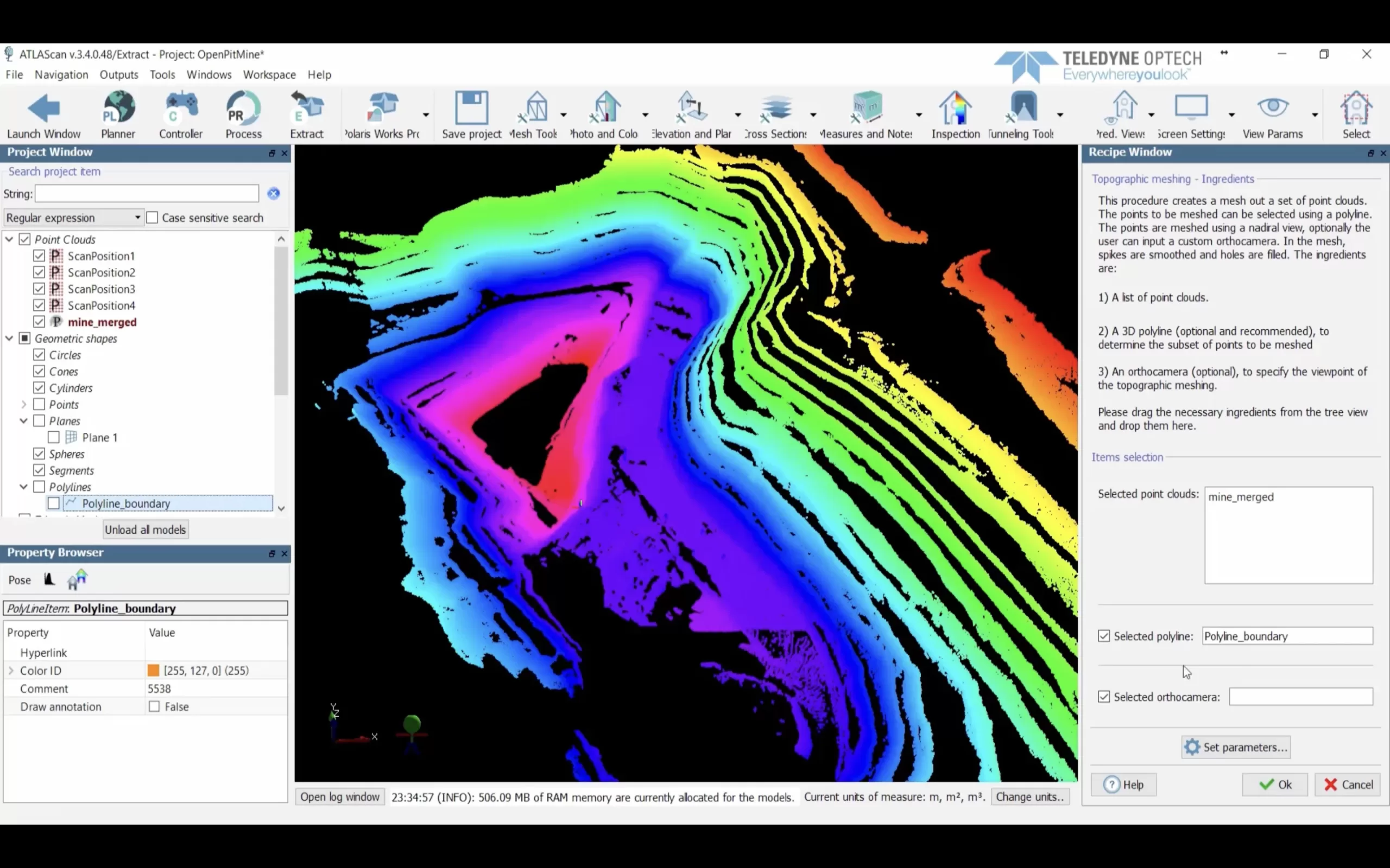
Images and application information: Atay Mühendislik.
Features and workflow
Tap a heading to view the details.
Modules and workflow
| Specification | Teledyne Optech ATLAScan |
|---|---|
| Plan | Field planning in the office |
| Operation | Import, processing, registration and georeferencing |
| Preprocessing | Automatic targetless preprocessing and bundle adjustment |
| Control | Wired or wireless Polaris control in the Works module |
| Project data | Point clouds, images, GNSS, control points, coordinate transformations |
Analysis and output tools
| Specification | Teledyne Optech ATLAScan |
|---|---|
| Modelling | Meshing and 3D modelling |
| Classification | Classification and vegetation removal |
| Image tools | Point-cloud colourisation, external camera calibration and orthophotos |
| Measurements | Area, volume and other measurements |
| Additional tools | Inspection and tunnel tools |
| Package contents | The full tool list depends on the ATLAScan package |
Minimum requirements listed on this site
| Specification | Teledyne Optech ATLAScan |
|---|---|
| Operating system | Microsoft Windows 7, 8 or 10 |
| Processor | 600 MHz Intel Pentium III or higher |
| Memory | 1 GB RAM |
| Free disk space | 1 GB |
| Graphics card | OpenGL-compatible |
| Processing space | Disk space equal to the data file plus the same amount of swap space; for example, 800 MB total for a 400 MB file |
Minimum requirements reflect the list on the Atay product page. Contact Atay Mühendislik for the version, data volume, computer and licence scope to use.
Let us define the right solution for your project.
Contact Atay Mühendislik for model selection, configuration and technical support.