
Qube 240
Compact LiDAR scanner for mapping Trinity F90+Qube 240 records terrain and objects directly as a 3D point cloud. Multiple returns support joint analysis of vegetation, ground and structures.
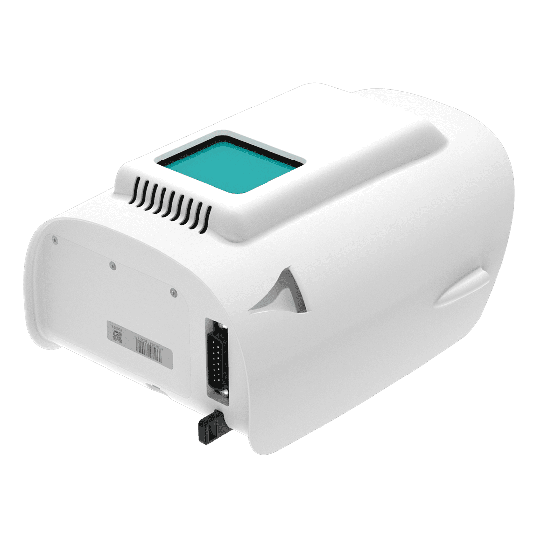
Three-dimensional data based on measurement.
Active measurement
Laser-based data capture records the three-dimensional geometry of the environment.
Ground and vegetation
Multiple returns contribute to point-cloud classification.
Data ready for processing
Complete the mapping workflow with GNSS/INS processing and LAS outputs.
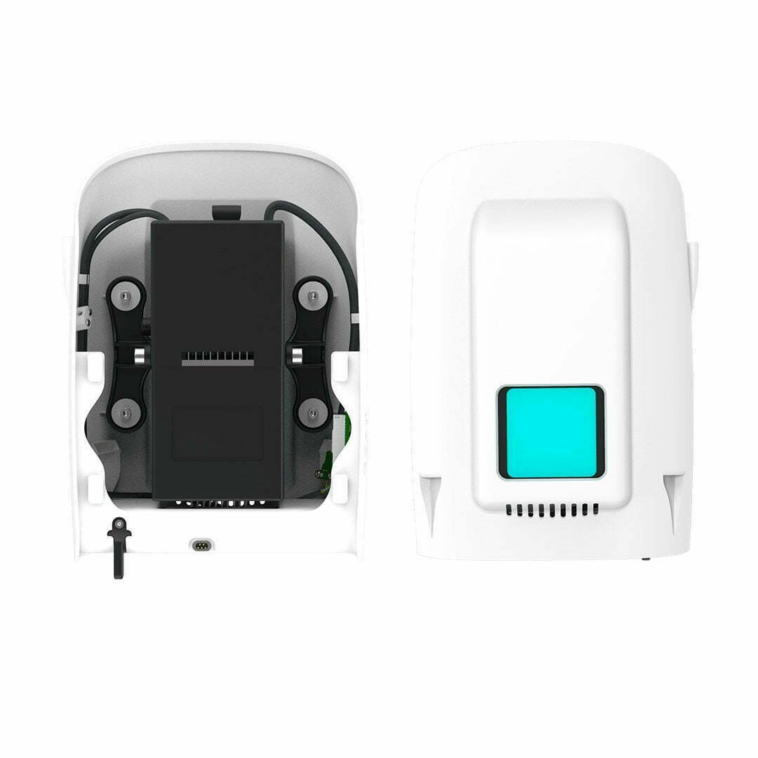
From field measurements to point clouds
CloudStation and associated GNSS/INS processing tools support data checking and processing. Software licensing is defined in the quotation configuration.
Applications
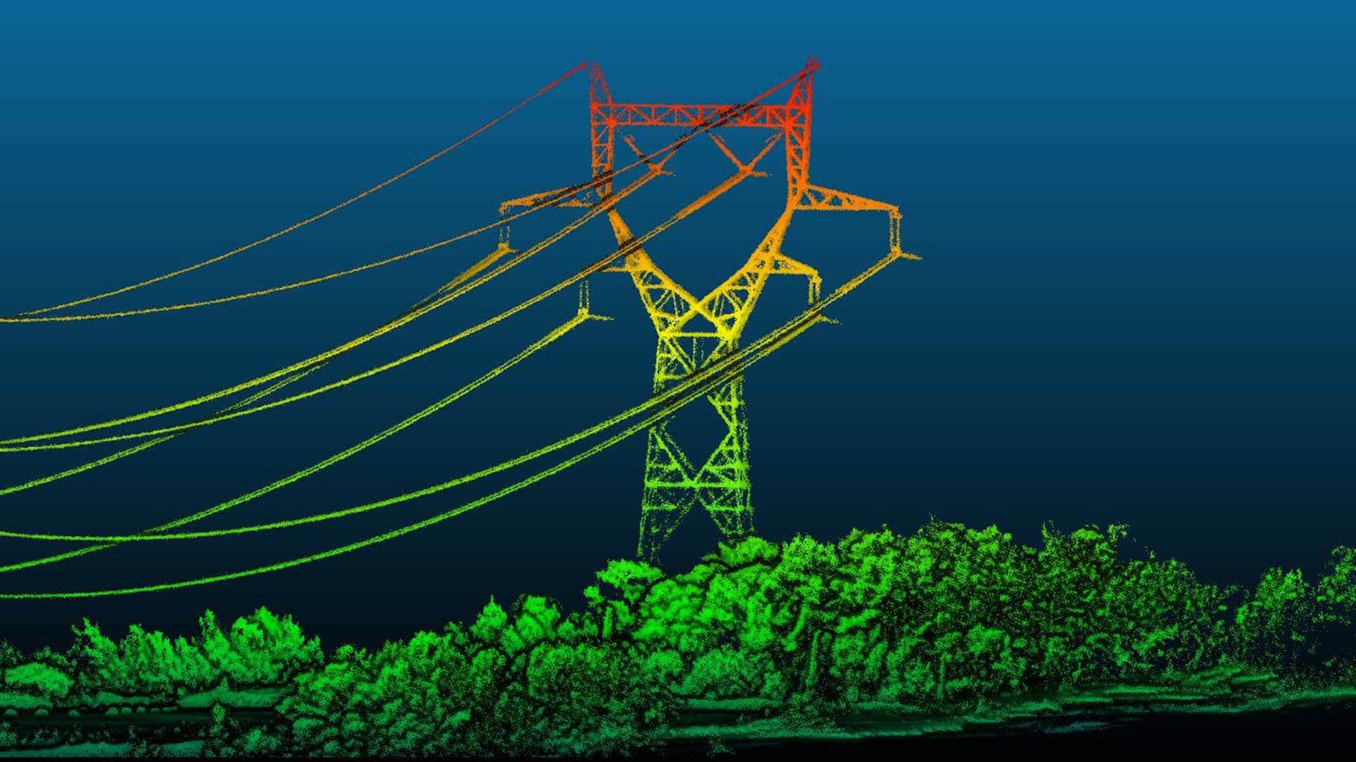
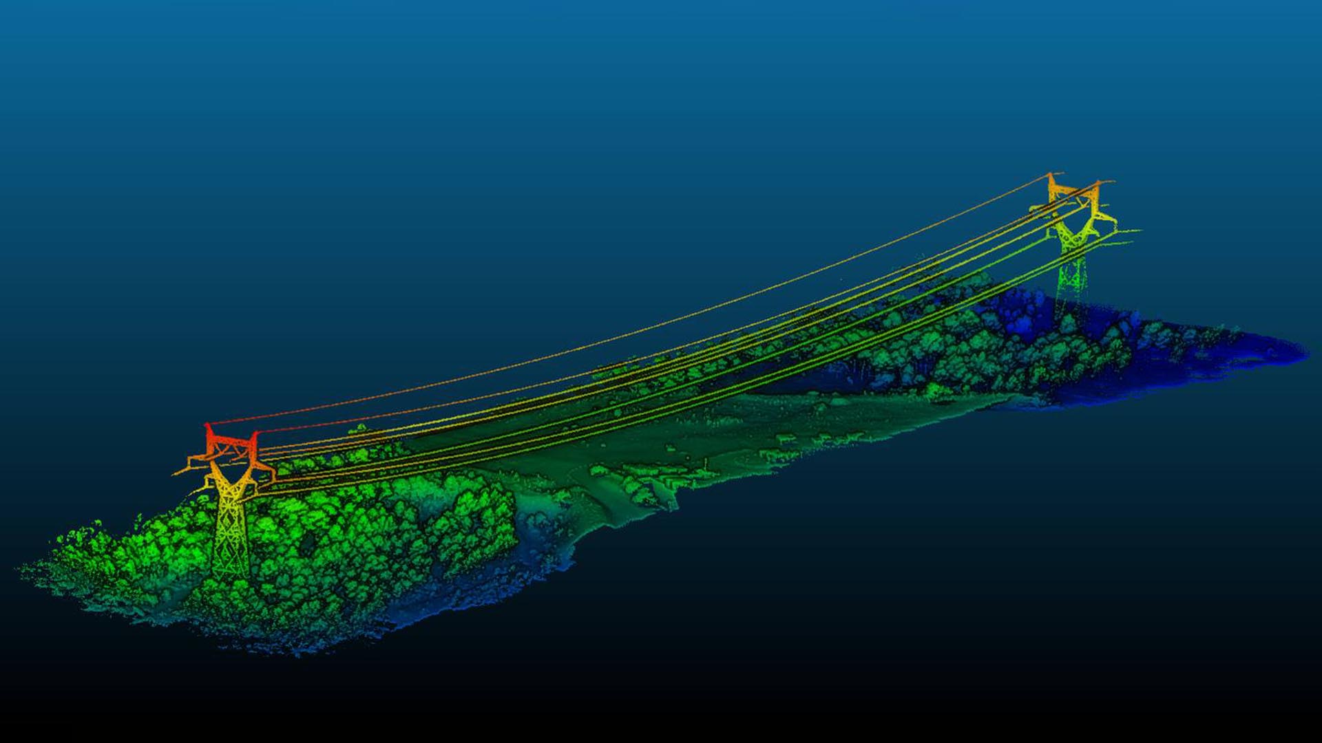
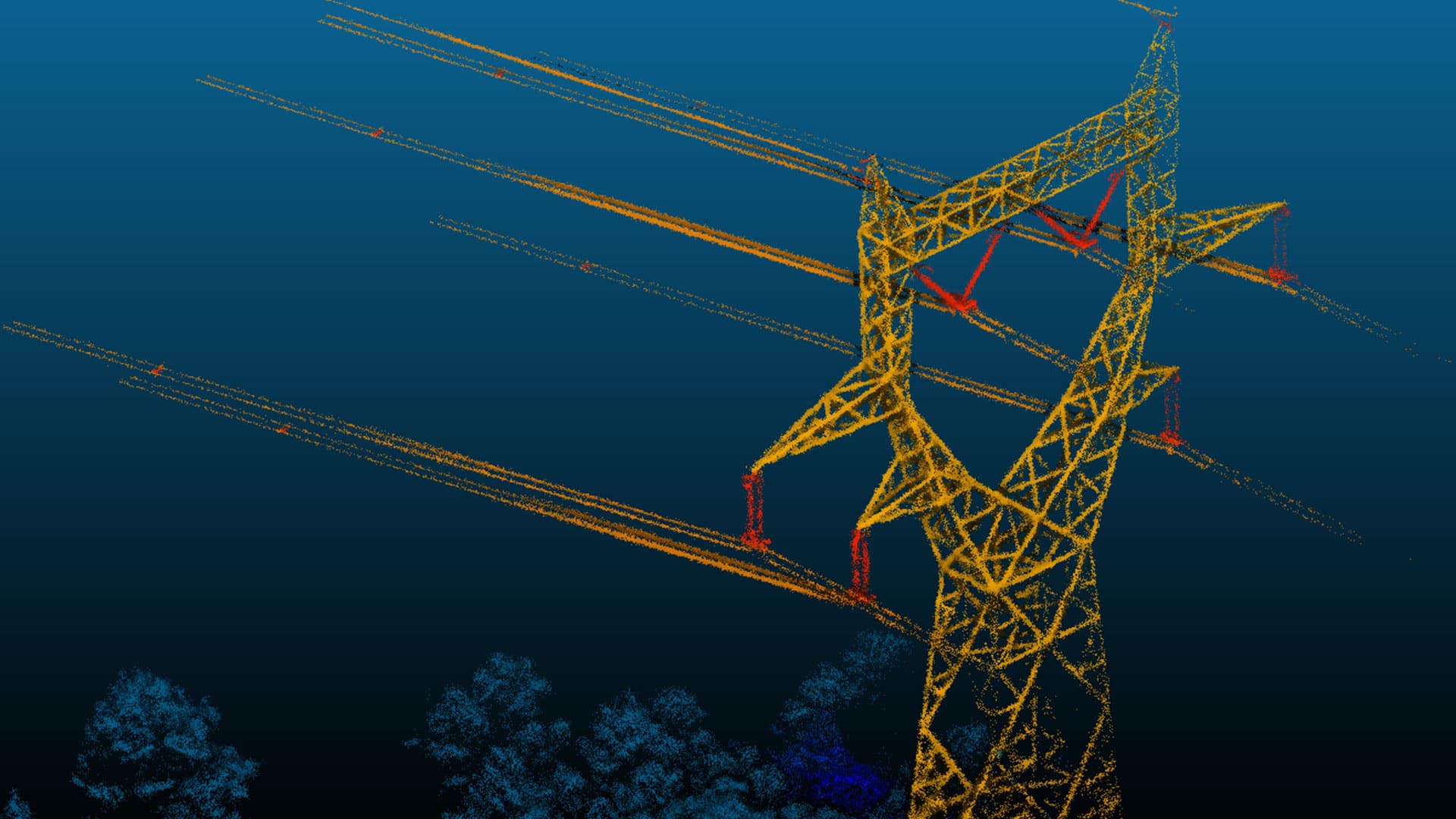
Product and application images: Atay Mühendislik / Quantum Systems.
Technical specifications
Tap a heading to view the details.
Scanning specifications
| Specification | Qube 240 |
|---|---|
| Laser class | Class 1 |
| Wavelength | 905 nm |
| Scanning field of view | 70° |
| Pulse rate | 240,000 / second |
| Maximum returns | 3 per pulse |
| Maximum point generation | 720,000 / second |
Measurement and workflow
| Specification | Qube 240 |
|---|---|
| Accuracy | <3 cm |
| Precision | 1.8–2.5 cm |
| Specified maximum height | 140 m AGL |
| Point density — 100 m | 50–100 points/m² |
| Inertial solution | Applanix APX-15 |
| Point-cloud output | LAS |
AGL means above ground level. Measurement performance depends on flight speed, altitude, target surface and processing conditions.
Let us define the right solution for your project.
Contact Atay Mühendislik for Qube 240 (Trinity F90+) product selection, system configuration and technical support.