
viDoc RTK · iPad Pro
RTK antenna for mobile 3D data captureiPad Pro-compatible RTK antenna · PIX4DcatchviDoc RTK · iPad Pro synchronises with PIX4Dcatch to add real-time positioning to mobile images. Handheld data captured through Bluetooth and NTRIP connections can be used in georeferenced 3D modelling and survey workflows.
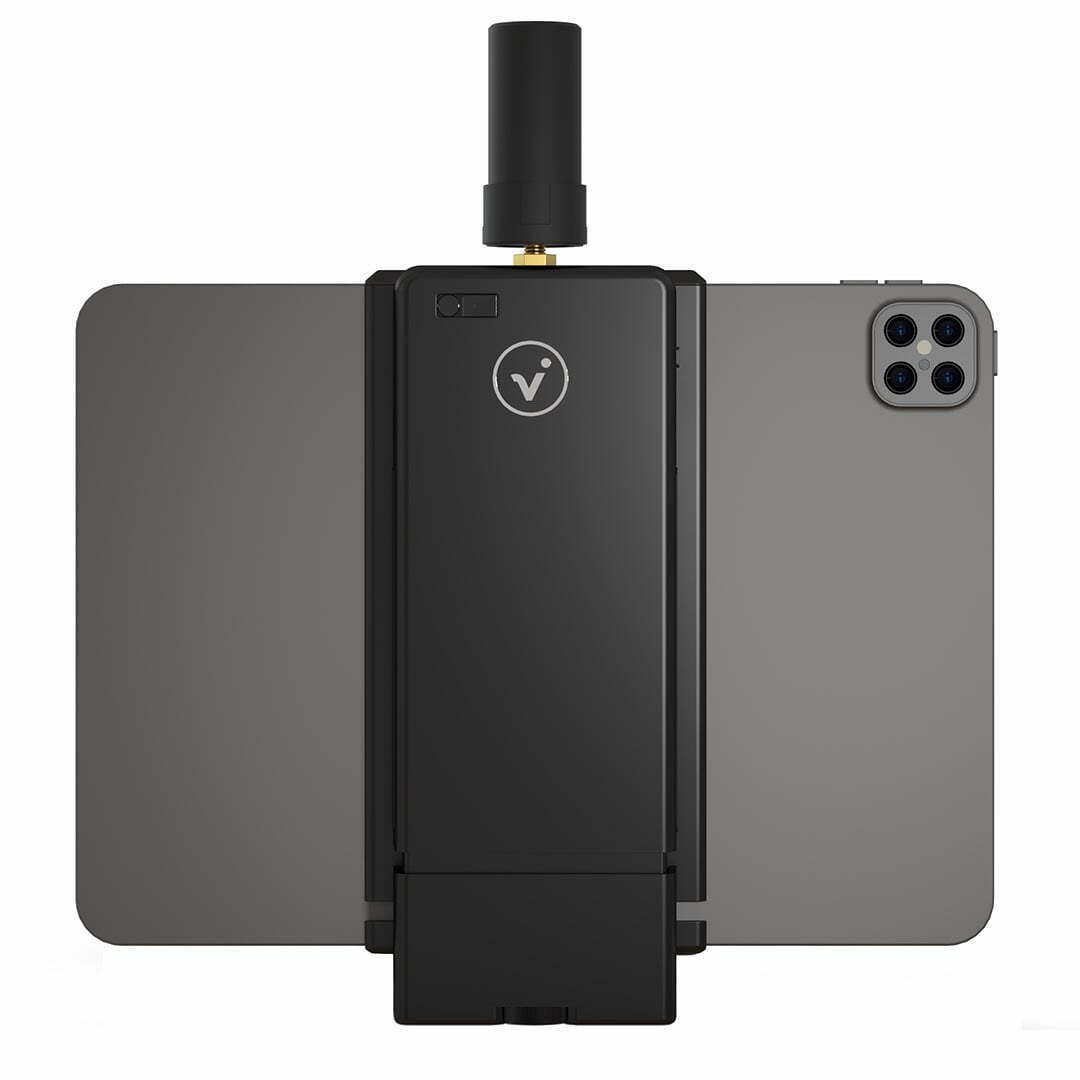
Combine mobile images with RTK positioning.
Mobile data capture
Connect a compatible device running PIX4Dcatch to viDoc via Bluetooth to combine image capture with position data.
Cloud evaluation
Upload captured data to PIX4Dcloud and measure lengths, areas and volumes on the processed model.
Field documentation
Create mobile 3D records of construction sites, bridges, concrete pours and underground infrastructure.

Device and antenna work together
viDoc is a mobile RTK solution designed by vigram GmbH. GNSS positions and PIX4Dcatch image records are used together; results can be shared with the team after processing.
Applications and outputs


Images: application and output examples from the Atay Mühendislik product page.
Technical specifications
Tap a heading to view the details.
System and workflow
| Specification | viDoc RTK · iPad Pro |
|---|---|
| Compatible platform | iPad Pro-compatible RTK antenna |
| Capture application | PIX4Dcatch |
| Connection | Bluetooth |
| Correction source | NTRIP service |
| GNSS receiver channels | 600 |
| Convergence | Approximately 5 s |
| Processing and sharing | Model processing, measurement and sharing through PIX4Dcloud |
GNSS antenna component
| Specification | viDoc RTK · iPad Pro |
|---|---|
| Dimensions | 55.6 × 27.5 mm |
| Weight | < 19 g |
| Temperature range | −40 °C – +80 °C |
| Humidity | Up to 95% |
| Polarisation | RHCP |
| Signals | GPS L1/L2; GLONASS G1/G2; BeiDou B1/B2/B3; Galileo E1/E5b |
| Coverage | 360° |
| Power supply | 3 – 16 V DC |
| Current consumption | < 35 mA |
Laser component
| Specification | viDoc RTK · iPad Pro |
|---|---|
| Measurement precision | ± 2 mm |
| Ground laser measurement range | 0.5 – 40 m |
| Front laser measurement range | 0.5 – 20 m |
| Laser class | 2 |
| Laser type | 635 nm; < 1 mW |
| Measurement time | 0.1 – 4 s |
| Voltage | 2.5 – 3.3 V |
| Operating temperature | 0 °C – +40 °C |
GNSS antenna and laser values refer to separate components; they do not represent total device weight or overall operating temperature. Mobile-device compatibility depends on the version.
Let us define the right solution for your project.
Contact Atay Mühendislik for mobile-device compatibility, connectivity options and technical support.