


Orthophoto and digital surface model examples of the same area.
Professional
From imagery to information.
From analysis to production.
CATALYST Professional is desktop remote sensing and photogrammetry software for processing satellite, aerial, UAV and SAR imagery. It combines orthophoto and surface model production with classification, change analysis and automation tools.
- Multiple data types
- Optical + SAR
- Photogrammetric production
- Orthophoto
- Deformation analysis
- InSAR
- Workflow automation
- Python
Available functions, sensor support and modules vary by licence package and software version. Result quality depends on data quality, control points and processing settings.
TECHNOLOGY AND PERFORMANCE
Details make a difference.
Process UAV and aerial imagery
Bring UAV imagery into a photogrammetric workflow using EXIF information and feature-based matching. Support orthophoto, mosaic and digital model production.
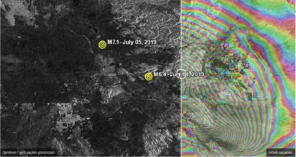
SAR and InSAR analysis
Analyse deformation and topography with DInSAR, SBAS and PSI approaches. Evaluate radar imagery alongside optical datasets.

Object-based classification
Use Object Analyst for segmentation, training-data preparation, classification and feature extraction. Bring datasets from different dates into a shared analysis workflow.
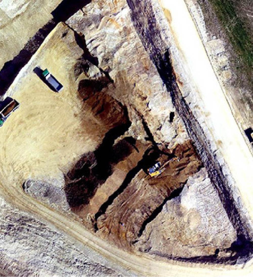
Advanced aerial triangulation
Collect tie points with feature-based matching (FBM); examine ground control points and block geometry to address potential gross errors.
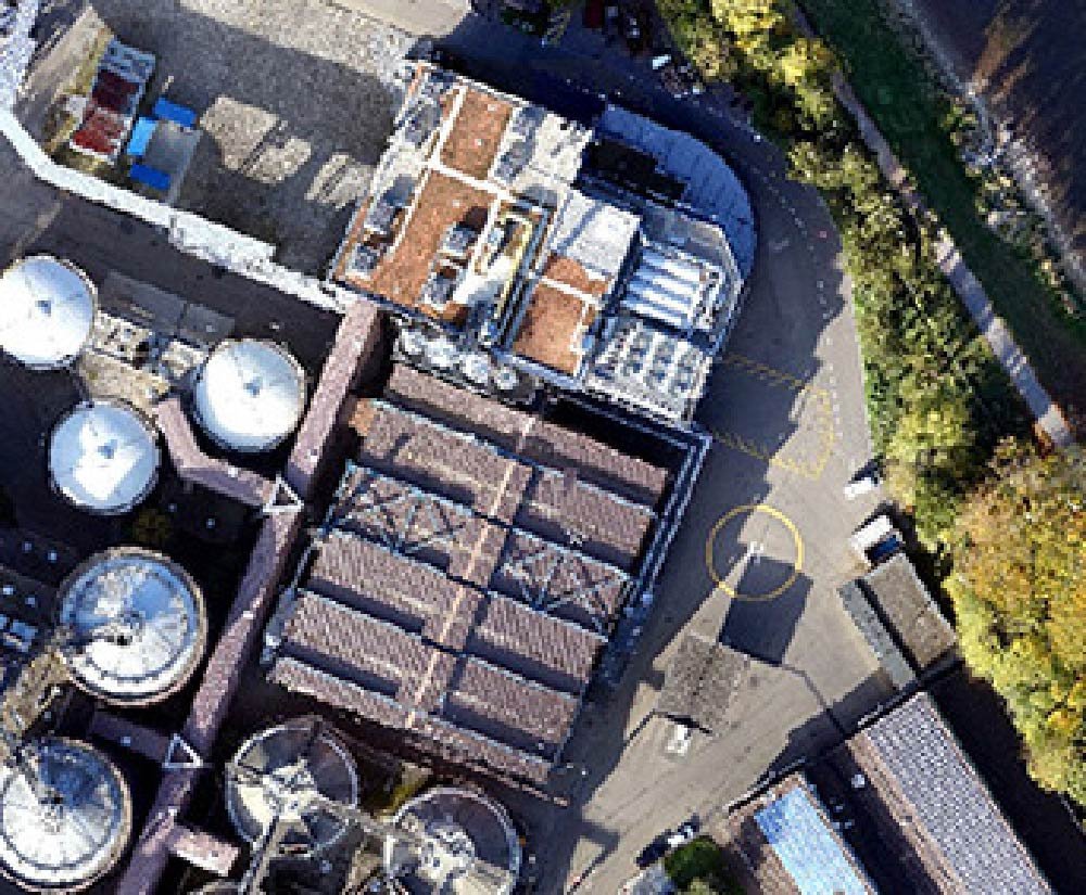
Live orthophoto and DEM editing
View the effect of digital elevation model edits on the orthophoto through a full-resolution preview. Use greyscale, false-colour and shaded-relief views.
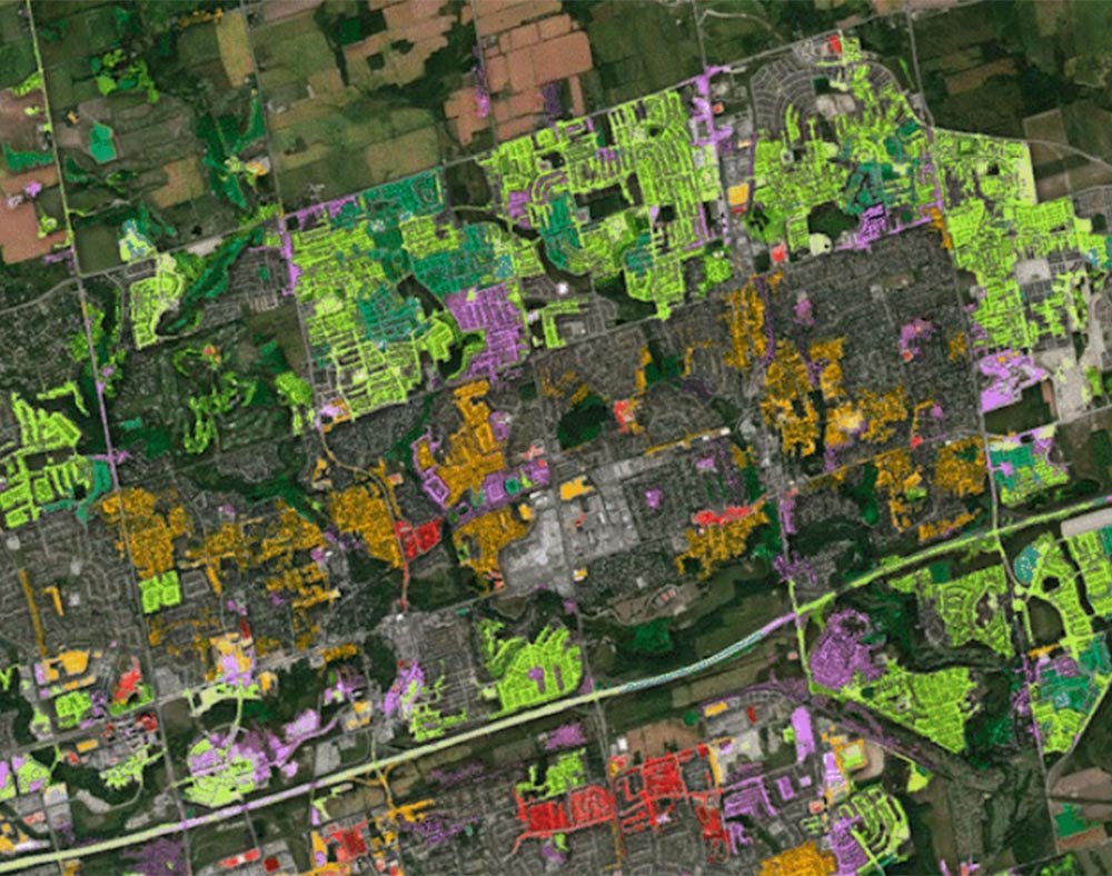
Change and spectral analysis
Identify changed areas between images from different dates. Evaluate vegetation and land characteristics with NDVI, hyperspectral analysis and spectral tools.
PACKAGES AND MODULES
Choose tools for your work.
Define module scope according to image type and production goals.
AirPhoto Ortho
Orthorectify aerial camera imagery; manage orthophoto, mosaic and colour-balancing processes.
Radar Ortho
Perform geometric correction and orthophoto production on radar satellite imagery.
Satellite Ortho
Use correction tools to produce orthophotos and mosaics from satellite imagery.
Object Analyst
Tools for segmentation, feature extraction, training data, supervised and unsupervised classification.
InSAR
Analyse topography, deformation and time-dependent subsidence / uplift from SAR image stacks.
Ortho Production Toolkit
Automatic point collection, colour balancing, seamline selection and mosaic production.
Pansharpening
Combine multispectral colour information with high-resolution panchromatic imagery.
Automatic DEM Extraction
Automatically generate digital elevation models from stereo aerial, satellite and suitable radar imagery.
Atmospheric Correction
Reduce atmospheric effects; support haze removal and cloud masking with image metadata.
SAR Polarimetry Workstation
Read metadata, select targets and perform numerical / graphical polarimetric analysis of POLSAR data.
Module inclusion and available features vary by licence and version.
APPLICATIONS
Technology that fits your project.
Mapping and photogrammetry
Orthophoto, mosaic, surface model and map production workflows.
Agriculture and environment
Vegetation, classification, spectral analysis and temporal change assessment.
Geology and infrastructure
Topography and deformation assessment using SAR / InSAR data.
WORKFLOW
Three steps to operation.
Prepare the data
Import imagery, sensor information, camera calibration and available control points into the project.
Process and analyse
Use appropriate modules for correction, orthophotos, digital models, classification or SAR analysis.
Repeat production
Automate verified workflows with batch processing and Python tools.
Select licences and modules according to the image types, production capacity and analysis requirements.
TECHNICAL SPECIFICATIONS
Explore the technical details.
Data and sensor support
| Platform types | Satellite, aerial camera and UAV imagery |
|---|---|
| Image types | Optical, multispectral, hyperspectral and SAR |
| Turkish satellite data | Göktürk-1 and Göktürk-2 support |
| Radar data | RCM support; SAR and compact polarimetry analysis |
| Camera / project information | Use of EXIF and camera calibration information |
Photogrammetry and analysis
| Photogrammetric functions | Aerial triangulation, block adjustment, orthorectification and mosaicking |
|---|---|
| Digital models | Automatic DEM generation, elevation model editing and orthophoto preview |
| Object-based analysis | Object Analyst; segmentation, classification and feature extraction |
| Spectral and temporal analysis | NDVI, hyperspectral analysis and change detection |
| SAR / InSAR | DInSAR, SBAS, PSI; radar polarimetry tools |
Integration and production
| Interface and operating environment | Desktop tools; Focus and OrthoEngine workflows |
|---|---|
| Automation | Batch data processing; Python API / SDK |
| Bingo integration | Import and export Bingo projects through OrthoEngine |
| Mosaic automation | Tie-point, colour-balancing, seamline and mosaic operations |
| Licence scope | Configured by package, module and version |
Available functions, sensor support and modules vary by licence package and software version. Result quality depends on data quality, control points and processing settings. Select licences and modules according to image types, production capacity and analysis requirements.
ATAY MÜHENDİSLİK
Let us define the right solution for your project.
Talk to our specialists about CATALYST Professional and the configuration suited to your application.