Quantum Systems Trinity F90+
Fixed-Wing VTOL UAV for Professionals
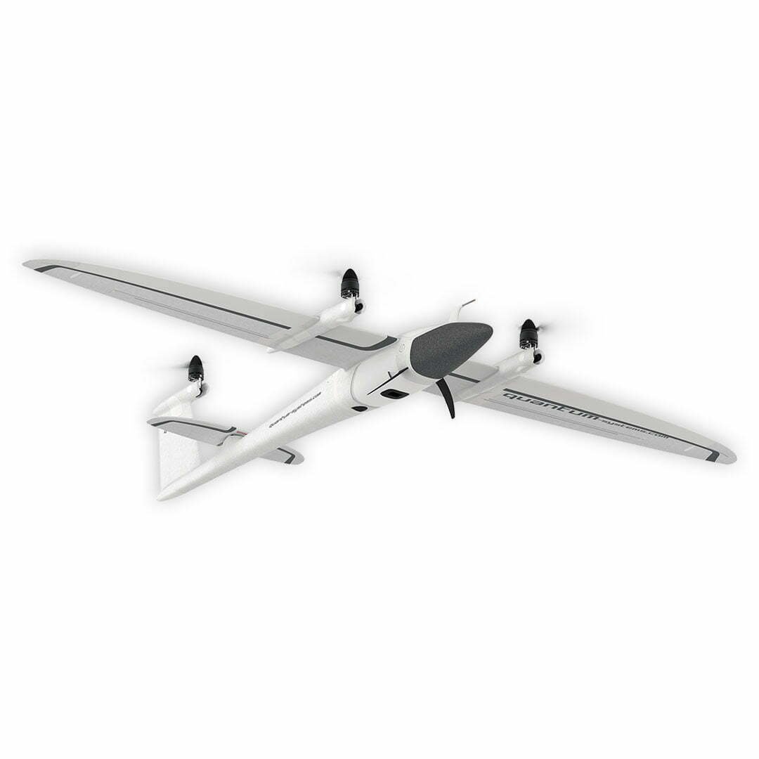
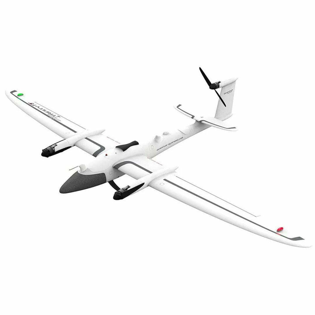
The Quantum Systems Trinity F90+ is an UAV developed for professionals for wide area mapping, with vertical take-off and landing capability (eVToL), 93 minutes flight time, wide variety of sensors, and centimeter-accurate results (PPK).
With the eVToL technology of Trinity F90+, you can work safely in application areas such as agriculture, mining and infrastructure, and you can obtain more data in a shorter time since it is able to cover 20 times more space than its competitors.
Within the Quantum Systems’ Education Program, educational institutions can get Trinity F90+ with a 20% discount.
Orders made with .edu e-mail addresses will be approved only. In addition, the buyer must sign and accept the training terms to be sent by Quantum Systems.
Click here to see the prices and buy.
93 Minutes Flight Time Rotors
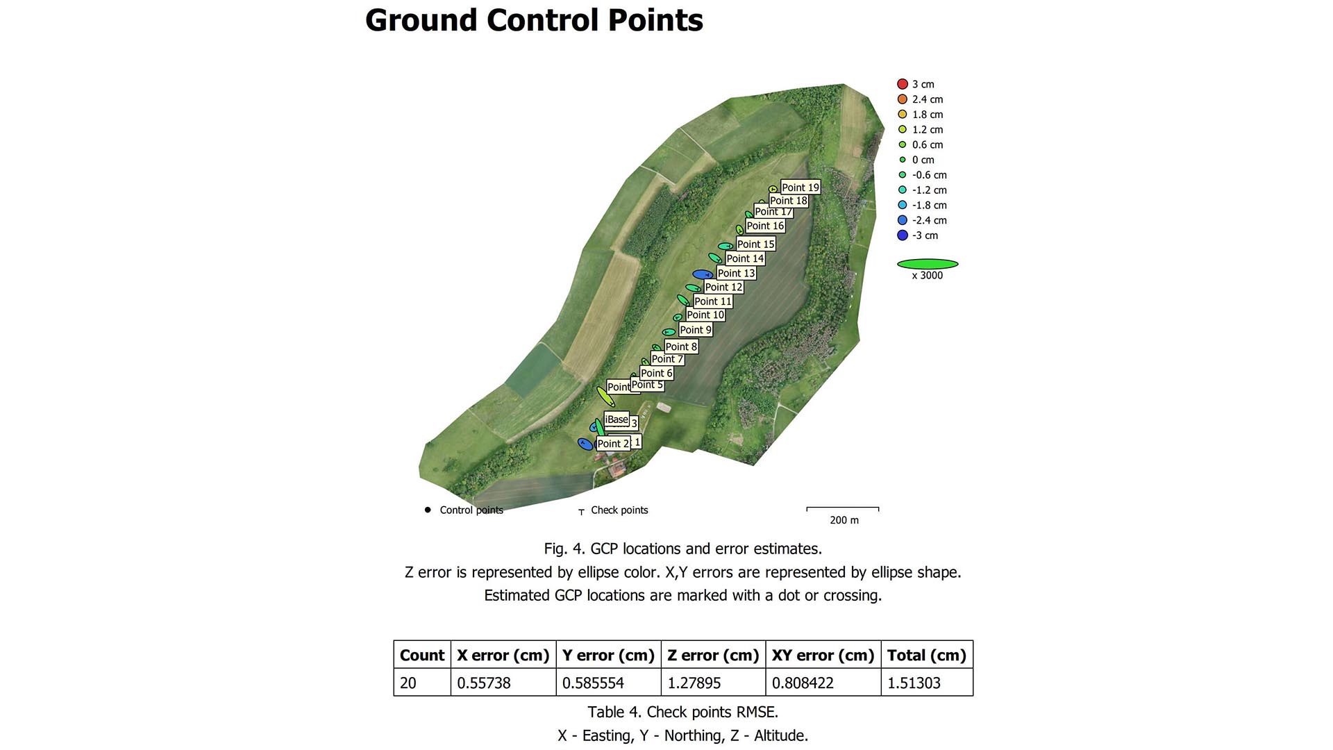
PPK with Quantum-System iBase ground reference station
Robust
QBase 3D Mission Planning (Including Live Aerial Traffic – ADS-B) Transponder
10 km Command & Control Range
Optional ADS-B Mode-S
High performance
Safe and easy use
Convincing ROI
Discover Our eVTOL Innovation
The Quantum-Systems Trinity F90+ eVTOL is a unique UAV that combines efficient aerodynamic design with the appropriate use of multi-rotor drone system in a single platform.
After reaching the desired altitude with vertical take-off, the drone has a short transition phase. In this transition phase, the rotors, triggered by the electric motors, rotate from the vertical takeoff position to the horizontal flight position.
The Trinity F90+ flies as efficiently as a fixed-wing aircraft and allows the easy vertical takeoff and landing system of a multi-rotor drone. It does not need any runway or extra equipment for the takeoff or landing. Due to its flexible and robust landing gear, it descends in a sensitive and controlled manner.

QBase 3D – Mission Planning, Flight Tracking and Data Processing
QBase 3D is the optimal platform for planning aerial imaging missions with a Quantum-Systems UAV.
It automatically creates efficient flight paths after defining observation areas and mission parameters with just a few clicks. This allows the operator to get started immediately and saves time.
QBase 3D provides accurate information about aircraft and mission status to ensure flight safety and mission success, giving you full control over the UAV.
iBase GNSS Reference Station
iBase is a GNSS reference station. Automatically saves ground GNSS reference measurements to a micro SD card. This file allows the post-processing software to do the PPK processing of the data collected during flight. All Quantum-Systems Trinity F90+ are equipped with the necessary accessories to for PPK.
The system is supplied with all accessories for autonomous use.

Trinity F90+ Payloads
Technical Features
| Maximum take-off weight: | 5.0 kg |
| Maximum flight time: | 93 Dakika |
| Area that can be scanned on a single flight: | >1500 ha |
| Maximum flight altitude: | 4500 m |
| Command and control range: | Up to 10 km |
| Load carrying capacity:
(compartment) |
700 gr |
| Optimal flight speed: | 17 m/s |
| Wind tolerance:
(on the ground) |
9 m/s |
| Wind tolerance:
(cruising) |
12 m/s |
| Battery weight: | 1.5 kg |
| Telemetry and RC transmitter frequency: | 2.4 GHz |
|
Telemetry link (QBase modem) power:
|
Max.. 100 mW |
|
Operating temperature range:
|
-12°C – 50°C |
|
Wingspan:
|
2394 mm |
|
Carrying Bag Dimensions:
|
1002 x 830 x 270 mm |
| Important features to consider | Trinity F90+ |
| How does it take off and land? | Vertical take-off and landing |
| Is there a PPK System? | Yes. Provides cm-accurate data. |
| What is the technical range? | 100 km |
| What is the flight time? | 93 min |
| Is there a fixed station in the system that provides cm accuracy? | Yes. Provides cm-accurate data. |
| Country of origin? | Germany |
| Does it fit in the back seat of a sedan? | Yes |
| Can it carry a multispectral camera? | Yes |
| Can it carry a thermal camera? | Yes |
| Can it carry a oblique camera? | Yes |
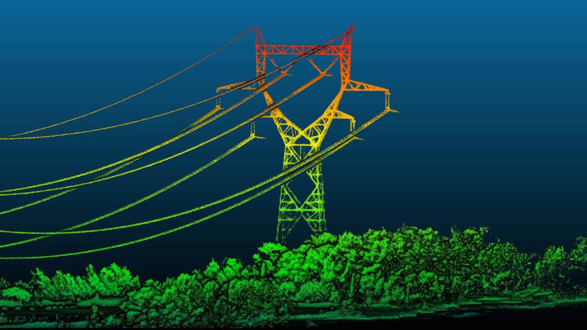
| Can it carry LiDAR? | Yes |
| Usage Areas | Mapping, Geology, Archeology, 3D City Modeling, Agriculture, Forestry, Real Estate, Defense |